Large airport · Poland

Warsaw Modlin AirportEPMO
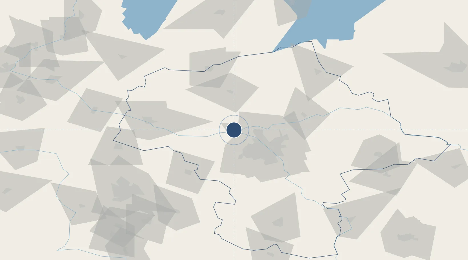
52.4511°, 20.6518°
8,202 ft
Longest runway
1
Runways
341 ft
Elevation

Runway & Layout

Warsaw Modlin Airport runway & taxiway layout
Runway & taxiway layout — OpenStreetMap (ODbL) / OurAirports

Radio Frequencies

INFO
124.5 MHz
OurAirports

Runways · 1

RunwayDimensions SurfaceTrue headingLit
08/26 8,202 × 147ft Asphalt 082°
OurAirports

Airport Specifications

IATA code
WMI
OurAirports
ICAO code
EPMO
OurAirports
Airport class
Large airport
OurAirports
Scheduled service
Yes
OurAirports
Runway surface
Asphalt
OurAirports
Served city
Nowy Dwór Mazowiecki
OurAirports

Location

Location of EPMO
Natural Earth 10m (public domain) · Masovian · EPMO · 52.45, 20.65GoogleOSMYandex

Nearby Logistics Neighbours

Airports
  1. 1Warsaw Chopin Airport38 km
  2. 2Minsk Mazowiecki Military Air Base74 km
  3. 3Tomaszów Mazowiecki Military Air Base104 km
  4. 4Leźnica Wielka Air Base114 km
  5. 5Olsztyn-Mazury Airport116 km
Nearest neighbours — logibook spatial index (haversine) over the source coordinates
Cities
  1. 1Pomiechówek6 km
  2. 2Nasielsk18 km
  3. 3Legionowo19 km
  4. 4Stare Babice26 km
  5. 5Swiecice26 km
Nearest neighbours — logibook spatial index (haversine) over the source coordinates
Ports
  1. 1Baltiysk248 km
  2. 2Gdansk249 km
  3. 3Kaliningrad250 km
  4. 4Nowy Port255 km
  5. 5Gdynia270 km
Nearest neighbours — logibook spatial index (haversine) over the source coordinates
Trade Zones
  1. 1Warsaw Airport Duty Free Zone38 km
  2. 2East-West Duty Free Zone54 km
  3. 3Łódź SEZ (ōódzka SSE)112 km
  4. 4Warmian-Masurian SEZ (Warmińsko-Mazurska SSE)147 km
  5. 5Starachowice SEZ (SSE Starachowice)160 km
Nearest neighbours — logibook spatial index (haversine) over the source coordinates
DatabookThe Record of Consolidated Knowledge
Poland beyond logistics?
Browse databook

All Sources

AirportsOurAirports
Public domain
Portsthe NGA World Port Index
Public domain (US gov)
LocationsUN/LOCODE
UN/LOCODE — free
Trade Zonesthe World Bank SEZ database
CC BY 4.0
Trade ZonesOpen Zone Map
CC BY
InfrastructureOpenStreetMap
ODbL 1.0
← Poland airports