Seaport · Poland
GdyniaPLGDY
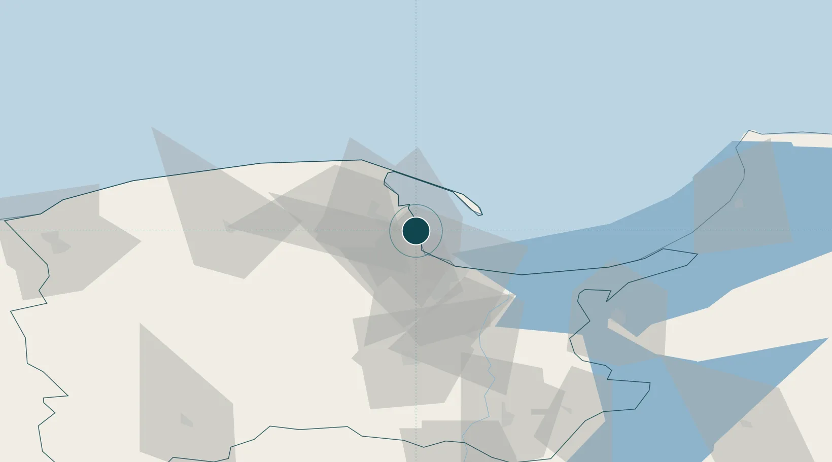
54.5333°, 18.5500°
14.0 m
Channel depth
2
Container terminals
175.7
Port liner connectivity
Channel & Berth Profile
Pilotage, Tugs & Services
Pilotage compulsoryYES
Pilotage advisableYES
Tug assistanceYES
Shore powerYES
Potable waterYES
MedicalYES
Garbage disposalYES
Facilities & Capabilities
ContainerYES
Ro-RoYES
Liquid bulkYES
Dry bulkYES
Oil terminalNO
Break bulkYES
Dry dockNO
RepairsNO
BunkeringYES
Rail linkYES
Dangerous cargo—
ISPS security—
Harbour Specifications
Harbour size
Large
Harbour type
Coastal (Breakwater)
Shelter
Good
Water body
Baltic Sea; North Atlantic Ocean
Pilotage
Yes
Liner Connectivity
175.7
PLSCI
Port Liner Shipping Connectivity Index for Gdynia, as published by UNCTAD for the latest available quarter. Higher values indicate stronger scheduled liner-shipping integration.
Shown relative to the highest per-port PLSCI in the dataset (1,657.9).
Location
Container Terminals · 2
BALTIC CONTAINER TERMINAL GDYNIA (BCT)
PLBCT
GDYNIA CONTAINER TERMINAL (GCT)
PLGCT GDYNIA CONTAINER TERMINAL S.A. / HUTCHISON PORTS GDYNIA
Nearby Logistics Neighbours
Ports
- 1Nowy Port15 km
- 2Gdansk22 km
- 3Baltiysk88 km
- 4Ustka110 km
- 5Kaliningrad126 km
Cities
- 1Sopot9 km
- 2Rumia11 km
- 3Nowy Port/Gdansk17 km
- 4Hel18 km
- 5Gdansk18 km
Airports
- 1Gdańsk Lech Wałęsa Airport18 km
- 2Cewice Naval Air Base52 km
- 3Malbork Królewo Air Base68 km
- 4Kaliningrad Chkalovsk Naval Air Base122 km
- 5Khrabrovo Airport137 km
Trade Zones
DatabookThe Record of Consolidated Knowledge
Poland beyond logistics?