Transport Functions
Road
Multimodal
Hub Profile
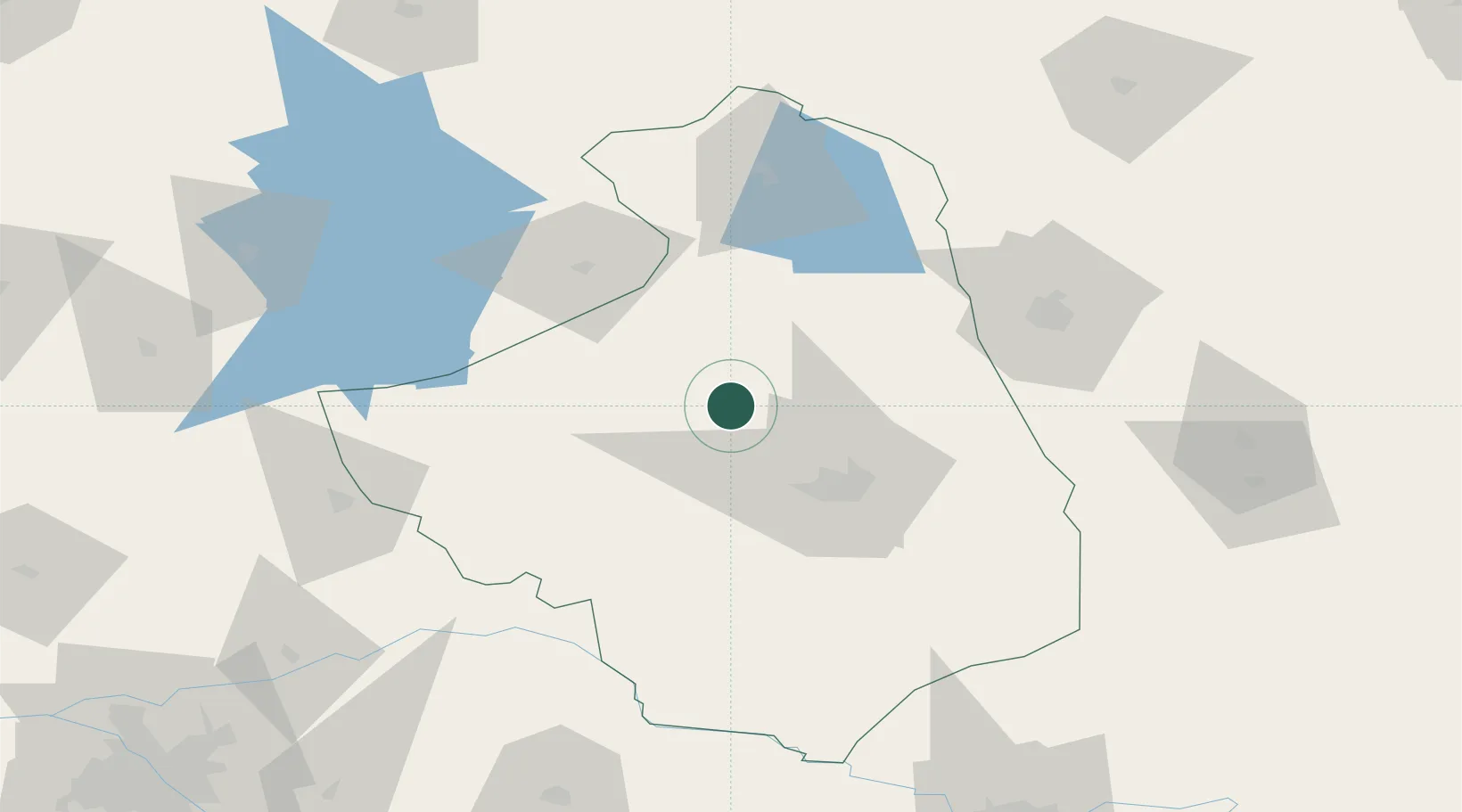
Place type
District seat
Region
Podlasie
Population
10,577
Time zone
Europe/Warsaw
Elevation
172 m
Location
Nearby Logistics Neighbours
Cities
- 1Grajewo37 km
- 2Dabrowa Bialostocka45 km
- 3Turosn Koscielna46 km
- 4Kulesze Koscielne46 km
- 5Augustów52 km
Ports
- 1Kaliningrad210 km
- 2Baltiysk235 km
- 3Klaipeda280 km
- 4Gdansk292 km
- 5Nowy Port294 km
Airports
- 1Hrodna Airport85 km
- 2Olsztyn-Mazury Airport125 km
- 3Chernyakhovsk Naval Air Base150 km
- 4Minsk Mazowiecki Military Air Base155 km
- 5Brest International Airport161 km
Trade Zones
DatabookThe Record of Consolidated Knowledge
Poland beyond logistics?