Transport Functions
Multimodal
Hub Profile
Place type
Populated place
Region
Calabarzon
Time zone
Asia/Manila
Elevation
8 m
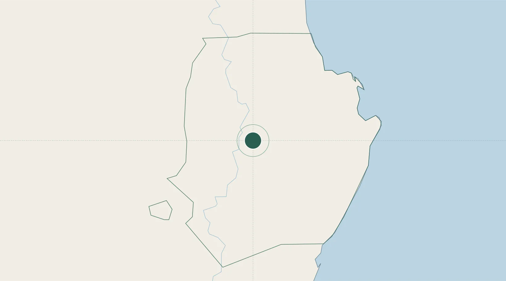
Location
Nearby Logistics Neighbours
Cities
- 1Makati108 km
- 2Amunitan/Aparri145 km
- 3Port Irene152 km
- 4Abulug165 km
- 5Pagudpud, Luzon174 km
Ports
- 1Aparri153 km
- 2San Fernando Harbor174 km
- 3Claveria198 km
- 4Masinloc264 km
- 5Manila288 km
Airports
- 1Cauayan Airport18 km
- 2Palanan Community Airport56 km
- 3Tuguegarao Airport72 km
- 4Cagayan North International Airport131 km
- 5Dr. Juan C. Angara Airport149 km
Trade Zones
DatabookThe Record of Consolidated Knowledge
Philippines beyond logistics?