Medium airport · Philippines
Cagayan North International AirportRPLH
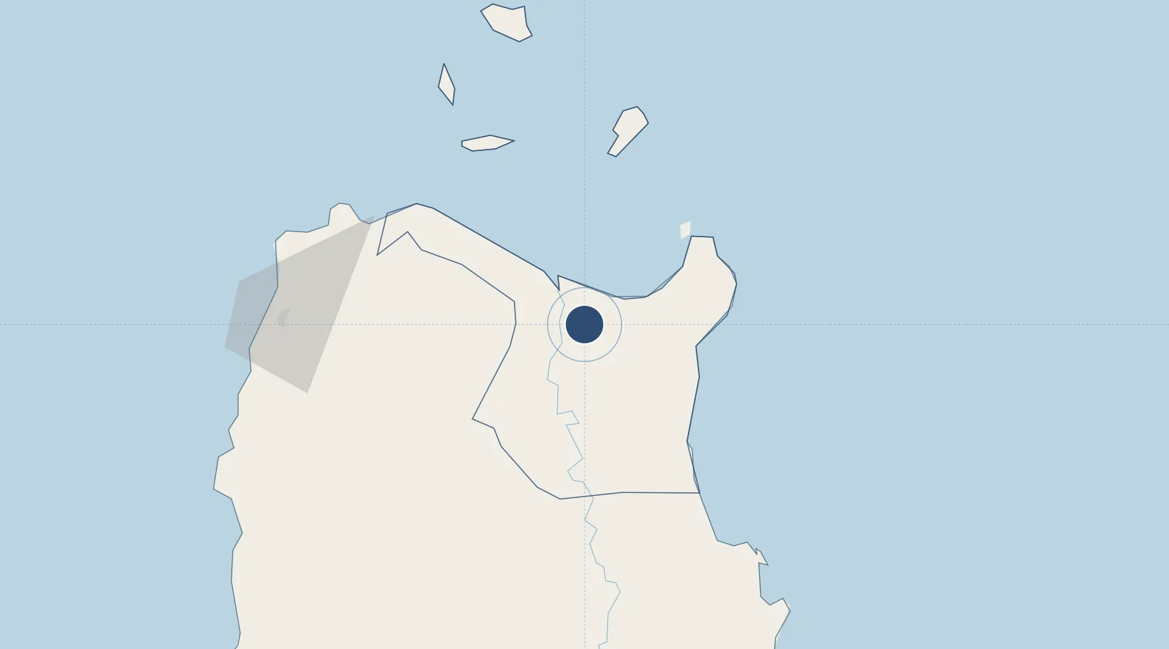
18.1824°, 121.7462°
6,890 ft
Longest runway
1
Runways
148 ft
Elevation
Runway & Layout

Runways · 1
| Runway | Dimensions | Surface | True heading | Lit |
|---|---|---|---|---|
| 04/22 | 6,890 × 148ft | Concrete | — | ✓ |
Airport Specifications
IATA code
LLC
ICAO code
RPLH
Airport class
Medium airport
Scheduled service
No
Runway surface
Concrete
Served city
Lal-lo
Location
Nearby Logistics Neighbours
Airports
- 1Tuguegarao Airport60 km
- 2Laoag International Airport128 km
- 3Cauayan Airport139 km
- 4Palanan Community Airport144 km
- 5San Fernando Airport234 km
Cities
- 1Amunitan/Aparri35 km
- 2Abulug42 km
- 3Port Irene43 km
- 4Pasaleng, Luzon97 km
- 5Laoag, Luzon123 km
Ports
- 1Aparri24 km
- 2Claveria85 km
- 3San Fernando Harbor231 km
- 4Basco253 km
- 5Masinloc350 km
Trade Zones
- 1PIPC Cagayan North0 km
- 2Ilocano Heroes Hall Techno Center122 km
- 3The VYV122 km
- 4Venvi IT Hub122 km
- 5Mariano Marcos State University IT Center129 km
DatabookThe Record of Consolidated Knowledge
Philippines beyond logistics?