UN/LOCODE hub · Philippines
PHIRN

Port Irene

18.3667°, 122.1000°
1
Transport functions

Transport Functions

Port
UN/LOCODE

Hub Profile

Region
CAG
GeoNames

Location

Location of PHIRN
Natural Earth 10m (public domain) · CAG · PHIRN · 18.37, 122.10GoogleOSMYandex

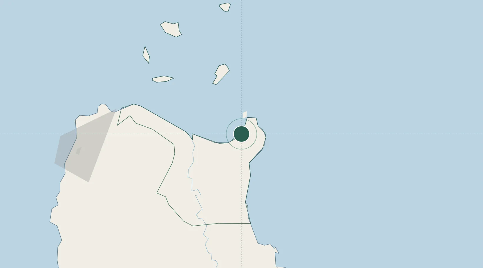
Nearby Logistics Neighbours

Cities
  1. 1Amunitan/Aparri8 km
  2. 2Abulug69 km
  3. 3Pasaleng, Luzon127 km
  4. 4Sucat152 km
  5. 5Laoag, Luzon161 km
Nearest neighbours — logibook spatial index (haversine) over the source coordinates
Ports
  1. 1Aparri49 km
  2. 2Claveria111 km
  3. 3Basco232 km
  4. 4San Fernando Harbor271 km
  5. 5Masinloc388 km
Nearest neighbours — logibook spatial index (haversine) over the source coordinates
Airports
  1. 1Cagayan North International Airport43 km
  2. 2Tuguegarao Airport89 km
  3. 3Palanan Community Airport149 km
  4. 4Cauayan Airport164 km
  5. 5Laoag International Airport167 km
Nearest neighbours — logibook spatial index (haversine) over the source coordinates
Trade Zones
  1. 1PIPC Cagayan North43 km
  2. 2Ecofuel Agro-Industrial Ecozone154 km
  3. 3Ilocano Heroes Hall Techno Center160 km
  4. 4The VYV161 km
  5. 5Venvi IT Hub161 km
Nearest neighbours — logibook spatial index (haversine) over the source coordinates
DatabookThe Record of Consolidated Knowledge
Philippines beyond logistics?
Browse databook

All Sources

LocationsUN/LOCODE
UN/LOCODE — free
Portsthe NGA World Port Index
Public domain (US gov)
AirportsOurAirports
Public domain
Trade Zonesthe World Bank SEZ database
CC BY 4.0
Trade ZonesOpen Zone Map
CC BY
← Philippines locations