Medium airport · Philippines
Tuguegarao AirportRPUT
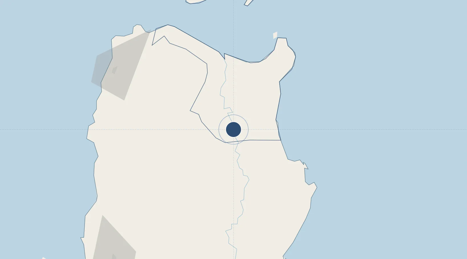
17.6434°, 121.7331°
6,455 ft
Longest runway
1
Runways
70 ft
Elevation
Runway & Layout

Radio Frequencies
FSS
122.8 MHz
RDO
Navaids
TUG VOR-DME Tuguegarao 112.10 MHz
Runways · 1
| Runway | Dimensions | Surface | True heading | Lit |
|---|---|---|---|---|
| 17/35 | 6,455 × 98ft | Concrete | 172° | ✓ |
Airport Specifications
IATA code
TUG
ICAO code
RPUT
Airport class
Medium airport
Scheduled service
Yes
Runway surface
Concrete
Served city
Tuguegarao City
Location
Nearby Logistics Neighbours
Airports
- 1Cagayan North International Airport60 km
- 2Cauayan Airport79 km
- 3Palanan Community Airport98 km
- 4Laoag International Airport140 km
- 5Loakan Airport184 km
Cities
- 1Sucat72 km
- 2Amunitan/Aparri82 km
- 3Port Irene89 km
- 4Abulug93 km
- 5Pasaleng, Luzon133 km
Ports
- 1Aparri81 km
- 2Claveria128 km
- 3San Fernando Harbor189 km
- 4Masinloc301 km
- 5Basco313 km
Trade Zones
- 1PIPC Cagayan North60 km
- 2Ecofuel Agro-Industrial Ecozone78 km
- 3The VYV135 km
- 4Venvi IT Hub135 km
- 5Ilocano Heroes Hall Techno Center135 km
DatabookThe Record of Consolidated Knowledge
Philippines beyond logistics?