Free Trade Zone · Philippines

Suyo Economic Zone Under Development
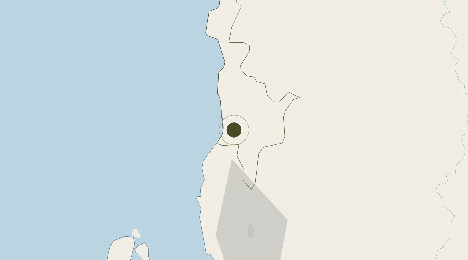
16.9961°, 120.4964°
188 ha
Zone area
46.3 km
Nearest port
49.1 km
Nearest airport

Gateway access

Nearest neighbours — logibook spatial index (haversine) over the source coordinates

Zone profile

Zone type
Free Trade Zone
Open Zone Map
Region
Ilocos Sur
Open Zone Map
Status
Under Development
Open Zone Map
Management
Public
Open Zone Map
Operator
Municipal Government of Suyo, Ilocos Sur
Open Zone Map
Legal framework
Special Economic Zone Act (Republic Act No. 7916) (as amended by Republic Act No. 8748)
Open Zone Map

Location

Location of ozm-3324
Natural Earth 10m (public domain) · Ilocos Sur · ozm-3324 · 17.00, 120.50GoogleOSMYandex

Nearby Logistics Neighbours

Ports
  1. 1San Fernando Harbor46 km
  2. 2Masinloc171 km
  3. 3Claveria191 km
  4. 4Aparri194 km
  5. 5Subic Bay245 km
Nearest neighbours — logibook spatial index (haversine) over the source coordinates
Airports
  1. 1San Fernando Airport49 km
  2. 2Loakan Airport70 km
  3. 3Laoag International Airport131 km
  4. 4Cauayan Airport134 km
  5. 5Tuguegarao Airport150 km
Nearest neighbours — logibook spatial index (haversine) over the source coordinates
Cities
  1. 1Pagudpud, Luzon46 km
  2. 2Bauang57 km
  3. 3Agoo77 km
  4. 4Salomague88 km
  5. 5Makati91 km
Nearest neighbours — logibook spatial index (haversine) over the source coordinates
Trade Zones
  1. 1Poro Point Special Economic Zone48 km
  2. 2Poro Point Freeport Zone48 km
  3. 3Mt. Resource Trade Center62 km
  4. 4Cuesta IT-BPO Center65 km
  5. 5Neutrinus Information Technology Center65 km
Nearest neighbours — logibook spatial index (haversine) over the source coordinates
DatabookThe Record of Consolidated Knowledge
Philippines beyond logistics?
Browse databook

All Sources

Trade ZonesOpen Zone Map
CC BY
Portsthe NGA World Port Index
Public domain (US gov)
AirportsOurAirports
Public domain
LocationsUN/LOCODE
UN/LOCODE — free
← Philippines trade zones