Specialized Zone · Philippines

Ecofuel Agro-Industrial Ecozone Active
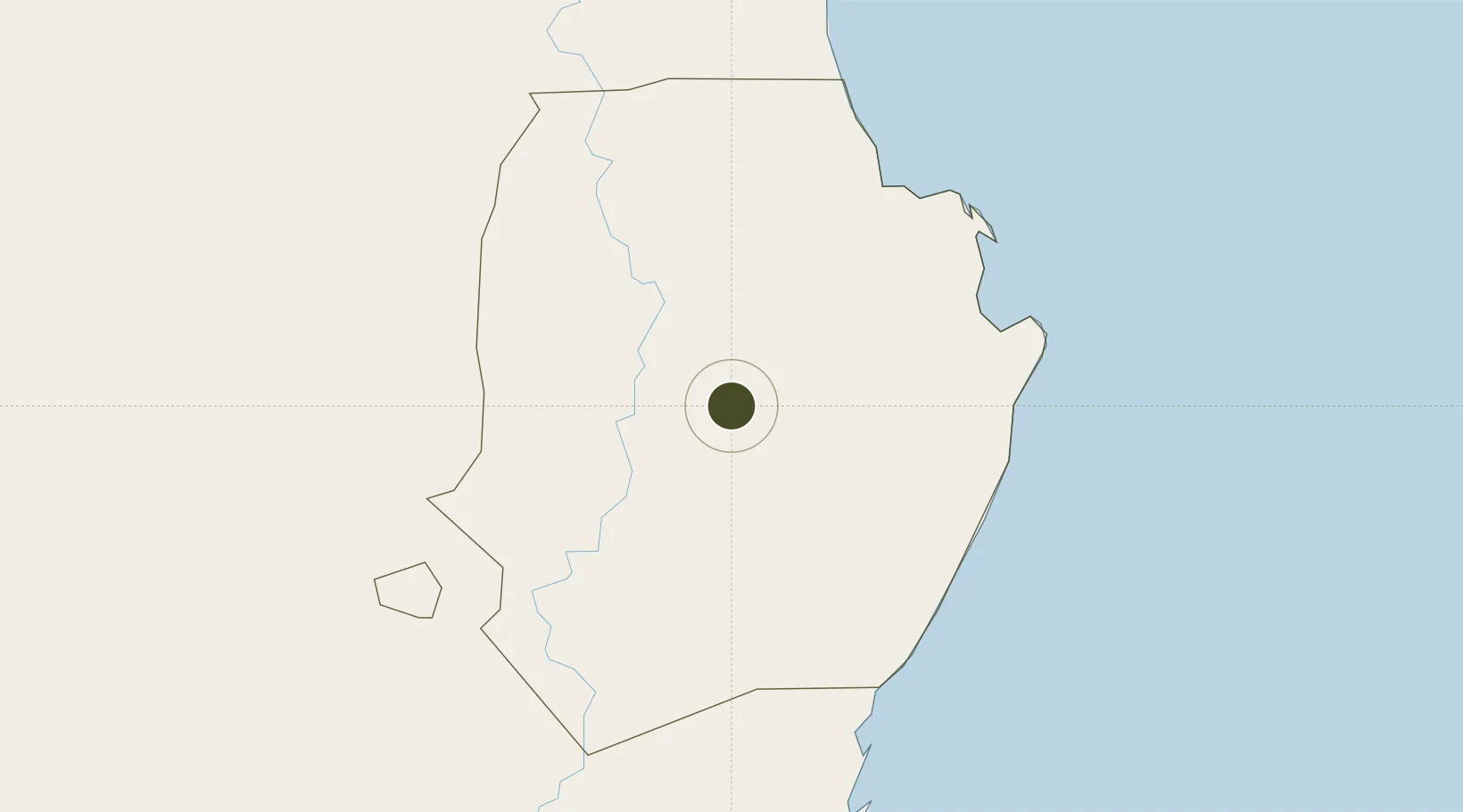
16.9881°, 121.9950°
24 ha
Zone area
158.0 km
Nearest port
26.5 km
Nearest airport

Gateway access

Nearest neighbours — logibook spatial index (haversine) over the source coordinates

Zone profile

Zone type
Specialized Zone
Open Zone Map
Specialization
Agriculture
Open Zone Map
Region
Isabela
Open Zone Map
Status
Active
Open Zone Map
Management
Private
Open Zone Map
Operator
Green Future Innovation, Inc.
Open Zone Map
Legal framework
Special Economic Zone Act (Republic Act No. 7916) (as amended by Republic Act No. 8748)
Open Zone Map

Location

Location of ozm-3349
Natural Earth 10m (public domain) · Isabela · ozm-3349 · 16.99, 122.00GoogleOSMYandex

Nearby Logistics Neighbours

Ports
  1. 1Aparri158 km
  2. 2San Fernando Harbor183 km
  3. 3Claveria205 km
  4. 4Masinloc271 km
  5. 5Manila289 km
Nearest neighbours — logibook spatial index (haversine) over the source coordinates
Airports
  1. 1Cauayan Airport27 km
  2. 2Palanan Community Airport47 km
  3. 3Tuguegarao Airport78 km
  4. 4Cagayan North International Airport135 km
  5. 5Dr. Juan C. Angara Airport150 km
Nearest neighbours — logibook spatial index (haversine) over the source coordinates
Cities
  1. 1Sucat11 km
  2. 2Makati115 km
  3. 3Amunitan/Aparri148 km
  4. 4Port Irene154 km
  5. 5Abulug171 km
Nearest neighbours — logibook spatial index (haversine) over the source coordinates
Trade Zones
  1. 1Aurora Pacific Economic Zone and Freeport88 km
  2. 2PIPC Cagayan North135 km
  3. 3Suyo Economic Zone159 km
  4. 4Camp John Hay Special Economic Zone161 km
  5. 5Baguio City Economic Zone161 km
Nearest neighbours — logibook spatial index (haversine) over the source coordinates
DatabookThe Record of Consolidated Knowledge
Philippines beyond logistics?
Browse databook

All Sources

Trade ZonesOpen Zone Map
CC BY
Portsthe NGA World Port Index
Public domain (US gov)
AirportsOurAirports
Public domain
LocationsUN/LOCODE
UN/LOCODE — free
← Philippines trade zones