Transport Functions
Port
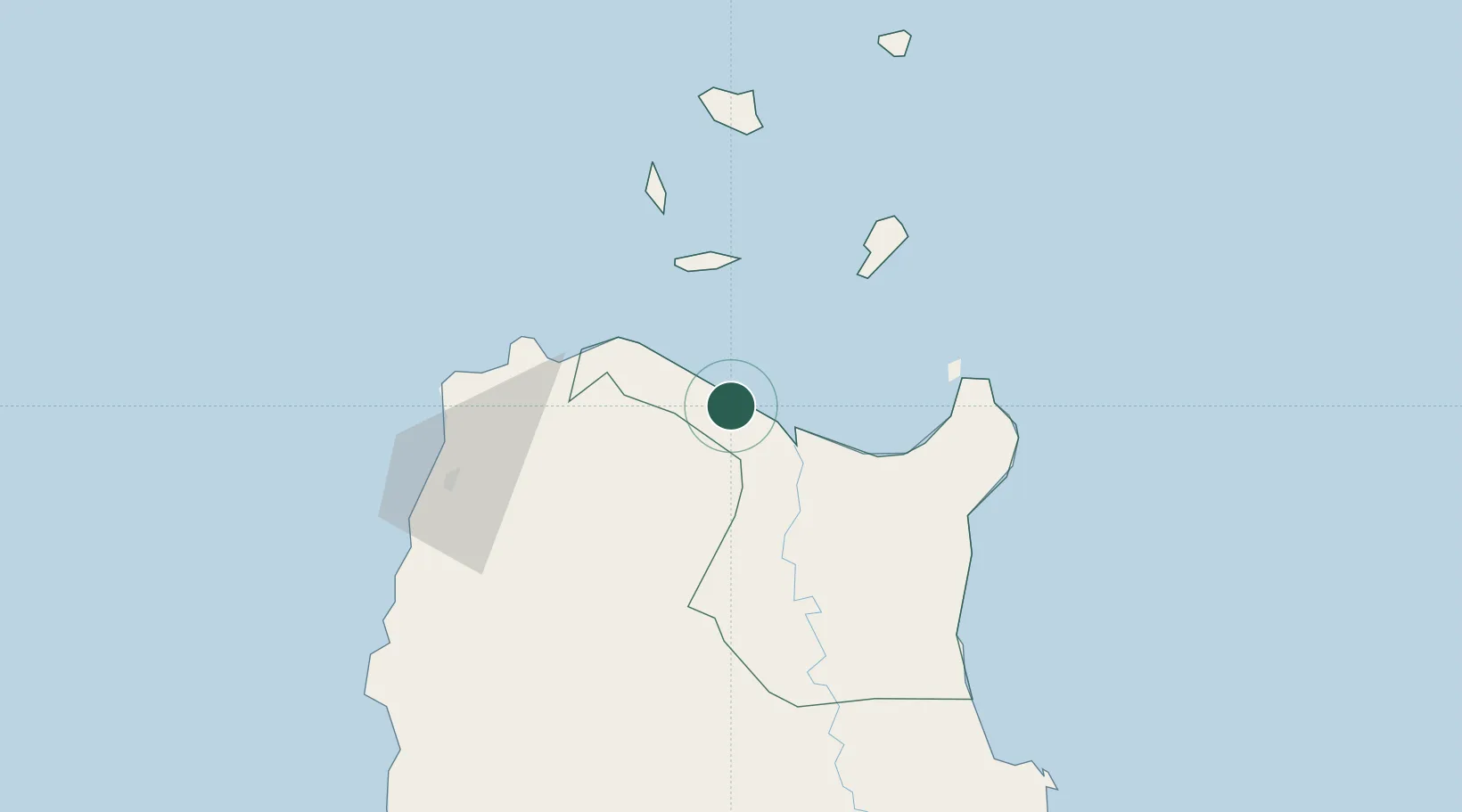
Hub Profile
Place type
District seat
Region
Cagayan Valley
Population
2,412
Time zone
Asia/Manila
Elevation
7 m
Location
Nearby Logistics Neighbours
Cities
- 1Pasaleng, Luzon58 km
- 2Amunitan/Aparri65 km
- 3Port Irene69 km
- 4Laoag, Luzon96 km
- 5Salomague131 km
Ports
- 1Aparri21 km
- 2Claveria44 km
- 3Basco231 km
- 4San Fernando Harbor235 km
- 5Masinloc358 km
Airports
- 1Cagayan North International Airport42 km
- 2Tuguegarao Airport93 km
- 3Laoag International Airport101 km
- 4Cauayan Airport170 km
- 5Palanan Community Airport184 km
Trade Zones
- 1PIPC Cagayan North42 km
- 2Ilocano Heroes Hall Techno Center94 km
- 3The VYV95 km
- 4Venvi IT Hub95 km
- 5Cagayan Special Economic Zone103 km
DatabookThe Record of Consolidated Knowledge
Philippines beyond logistics?