Small airport · Philippines

Palanan Community AirportRPLN
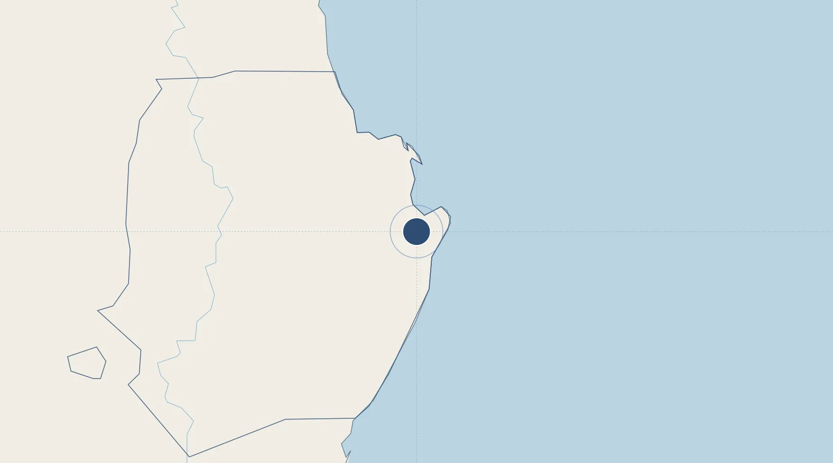
17.0657°, 122.4277°
3,280 ft
Longest runway
1
Runways
52 ft
Elevation

Runway & Layout

Palanan Community Airport runway & taxiway layout
Runway & taxiway layout — OpenStreetMap (ODbL) / OurAirports

Runways · 1

RunwayDimensions SurfaceTrue headingLit
02/20 3,280 × —ft Macadam
OurAirports

Airport Specifications

ICAO code
RPLN
OurAirports
Airport class
Small airport
OurAirports
Scheduled service
Yes
OurAirports
Runway surface
Macadam
OurAirports
Served city
Palanan
OurAirports

Location

Location of RPLN
Natural Earth 10m (public domain) · Isabela · RPLN · 17.07, 122.43GoogleOSMYandex

Nearby Logistics Neighbours

Airports
  1. 1Cauayan Airport73 km
  2. 2Tuguegarao Airport98 km
  3. 3Cagayan North International Airport144 km
  4. 4Dr. Juan C. Angara Airport179 km
  5. 5Loakan Airport207 km
Nearest neighbours — logibook spatial index (haversine) over the source coordinates
Cities
  1. 1Sucat56 km
  2. 2Amunitan/Aparri145 km
  3. 3Port Irene149 km
  4. 4Makati159 km
  5. 5Abulug184 km
Nearest neighbours — logibook spatial index (haversine) over the source coordinates
Ports
  1. 1Aparri167 km
  2. 2Claveria224 km
  3. 3San Fernando Harbor230 km
  4. 4Jose Panganiban311 km
  5. 5Masinloc314 km
Nearest neighbours — logibook spatial index (haversine) over the source coordinates
Trade Zones
  1. 1Ecofuel Agro-Industrial Ecozone47 km
  2. 2Aurora Pacific Economic Zone and Freeport104 km
  3. 3PIPC Cagayan North143 km
  4. 4Suyo Economic Zone206 km
  5. 5Camp John Hay Special Economic Zone207 km
Nearest neighbours — logibook spatial index (haversine) over the source coordinates
DatabookThe Record of Consolidated Knowledge
Philippines beyond logistics?
Browse databook

All Sources

AirportsOurAirports
Public domain
Portsthe NGA World Port Index
Public domain (US gov)
LocationsUN/LOCODE
UN/LOCODE — free
Trade Zonesthe World Bank SEZ database
CC BY 4.0
Trade ZonesOpen Zone Map
CC BY
InfrastructureOpenStreetMap
ODbL 1.0
← Philippines airports