Specialized Zone · Philippines
PIPC Cagayan North Active
18.1810°, 121.7476°
50 ha
Zone area
23.9 km
Nearest port
0.2 km
Nearest airport
Gateway access
Zone profile
Zone type
Specialized Zone
Specialization
Agriculture
Region
Cagayan
Status
Active
Management
Public-Private Partnership
Operator
Pampanga Industrial Park Corporation
Legal framework
Special Economic Zone Act (Republic Act No. 7916) (as amended by Republic Act No. 8748)
Location
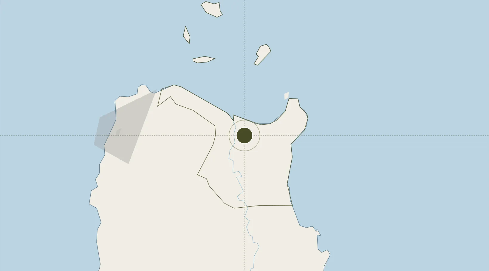
Nearby Logistics Neighbours
Ports
- 1Aparri24 km
- 2Claveria85 km
- 3San Fernando Harbor231 km
- 4Basco253 km
- 5Masinloc350 km
Airports
- 1Cagayan North International Airport0 km
- 2Tuguegarao Airport60 km
- 3Laoag International Airport129 km
- 4Cauayan Airport139 km
- 5Palanan Community Airport143 km
Cities
- 1Amunitan/Aparri35 km
- 2Abulug42 km
- 3Port Irene43 km
- 4Pasaleng, Luzon97 km
- 5Laoag, Luzon123 km
Trade Zones
- 1Ilocano Heroes Hall Techno Center122 km
- 2The VYV122 km
- 3Venvi IT Hub122 km
- 4Mariano Marcos State University IT Center129 km
- 5Fort Ilocandia Tourism Ecozone130 km
DatabookThe Record of Consolidated Knowledge
Philippines beyond logistics?