Transport Functions
Port
Road
Hub Profile
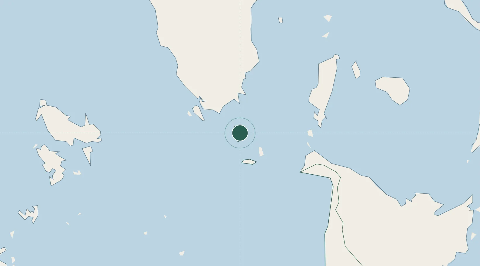
Place type
Populated place
Region
Western Visayas
Population
5,470
Time zone
Asia/Manila
Elevation
17 m
Location
Nearby Logistics Neighbours
Cities
- 1San Jose Apt, Mindoro47 km
- 2Boracay57 km
- 3Odiongan73 km
- 4Romblon109 km
- 5Cajidiocan, Visayan Isl143 km
Ports
- 1Port Romblon110 km
- 2Calapan152 km
- 3Port Capiz152 km
- 4Batangas City191 km
- 5Iloilo199 km
Airports
- 1San Jose Airport51 km
- 2Godofredo P. Ramos Airport62 km
- 3Tugdan Airport79 km
- 4Kalibo International Airport115 km
- 5Cuyo Airport139 km
Trade Zones
DatabookThe Record of Consolidated Knowledge
Philippines beyond logistics?