Seaport · Philippines
IloiloPHILO
10.7000°, 122.5833°
7.9 m
Channel depth
1
Container terminals
67.5
Port liner connectivity
Channel & Berth Profile
Pilotage, Tugs & Services
Pilotage compulsoryYES
Pilotage availableYES
Pilotage advisableYES
Tug assistanceYES
Shore powerYES
Potable waterYES
MedicalYES
Garbage disposalYES
Facilities & Capabilities
Container—
Ro-Ro—
Liquid bulk—
Dry bulk—
Oil terminal—
Break bulk—
Dry dockNO
RepairsNO
BunkeringYES
Rail linkYES
Dangerous cargo—
ISPS security—
Harbour Specifications
Harbour size
Very Small
Harbour type
Open Roadstead
Shelter
Good
Water body
Philippine inland seas; North Pacific Ocean
Tidal range
3 m
Pilotage
Yes
Liner Connectivity
67.5
PLSCI
Port Liner Shipping Connectivity Index for Iloilo, as published by UNCTAD for the latest available quarter. Higher values indicate stronger scheduled liner-shipping integration.
Shown relative to the highest per-port PLSCI in the dataset (1,657.9).
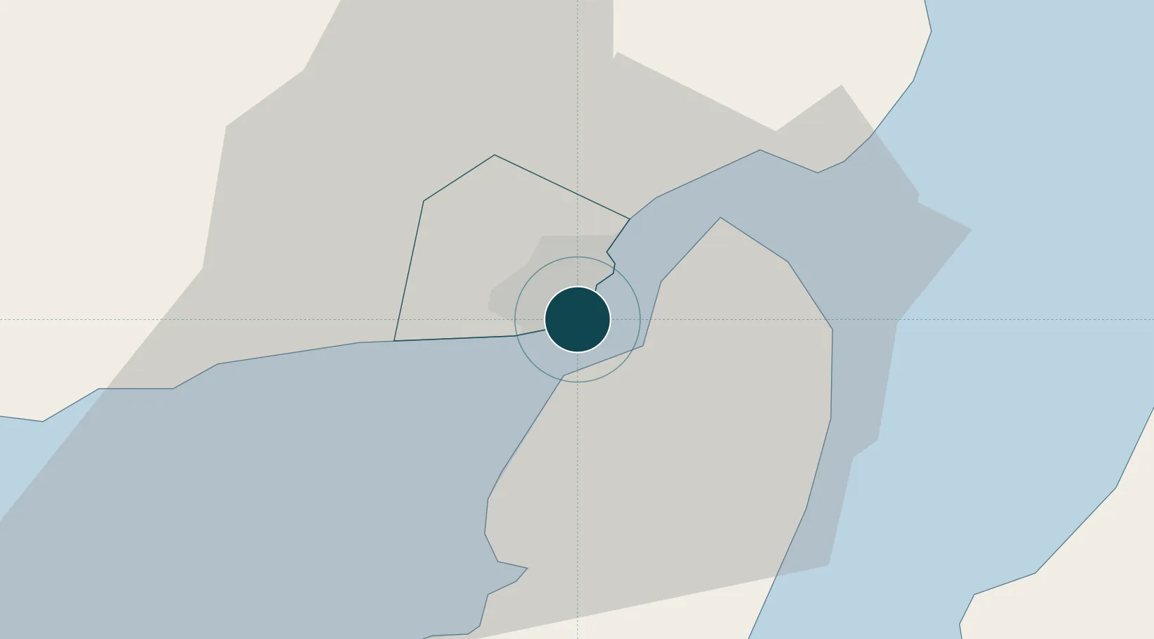
Location
Container Terminals · 1
VASAYAS CONTAINER TERMINAL ILOILO
VCT INTERNATIONAL CONTAINER TERMINAL SERVICES, INC. (ICTSI)
Nearby Logistics Neighbours
Ports
- 1Pulupandan31 km
- 2San Carlos94 km
- 3Port Capiz101 km
- 4Toledo121 km
- 5Bais136 km
Cities
- 1Bacolod, Negros39 km
- 2La Carlota48 km
- 3Hamtic67 km
- 4Ajuy72 km
- 5Himamaylan, Negros75 km
Airports
- 1Iloilo International Airport18 km
- 2Bacolod-Silay International Airport48 km
- 3Evelio Javier Airport72 km
- 4Roxas Airport102 km
- 5Kalibo International Airport111 km
Trade Zones
DatabookThe Record of Consolidated Knowledge
Philippines beyond logistics?