Transport Functions
Port
Hub Profile
Place type
District seat
Region
Mimaropa
Population
6,077
Time zone
Asia/Manila
Elevation
12 m
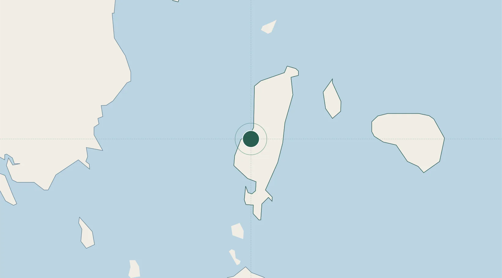
Location
Nearby Logistics Neighbours
Cities
- 1Romblon36 km
- 2Boracay49 km
- 3Semirara73 km
- 4Cajidiocan, Visayan Isl76 km
- 5San Jose Apt, Mindoro98 km
Ports
- 1Port Romblon37 km
- 2Port Capiz120 km
- 3Calapan143 km
- 4Hondagua175 km
- 5Masbate177 km
Airports
- 1Tugdan Airport15 km
- 2Godofredo P. Ramos Airport53 km
- 3Kalibo International Airport91 km
- 4San Jose Airport102 km
- 5Marinduque Airport108 km
Trade Zones
DatabookThe Record of Consolidated Knowledge
Philippines beyond logistics?