Specialized Zone · Philippines

Boracay Eco-Village Resort Tourism Ecozone Active
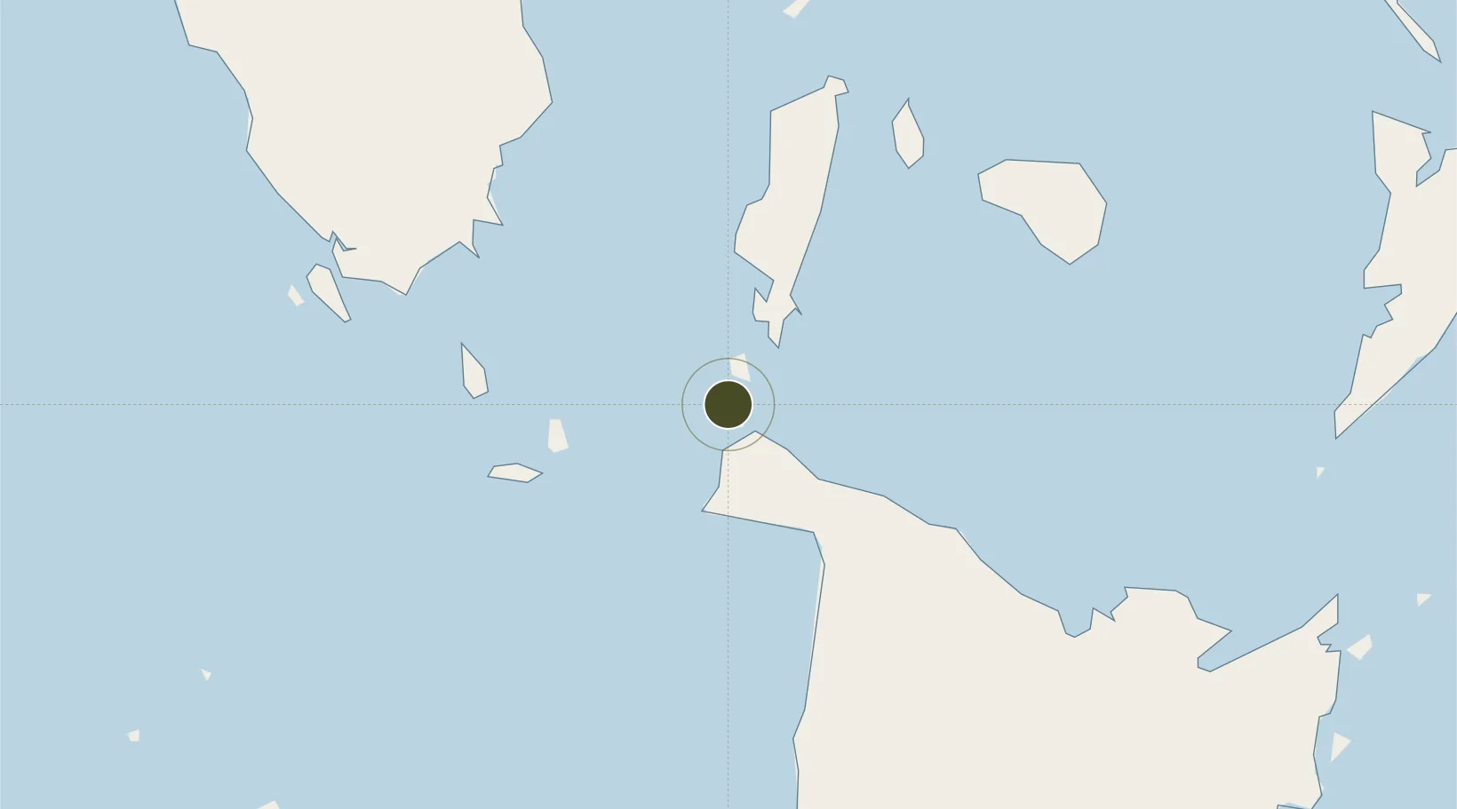
11.9884°, 121.9085°
79 ha
Zone area
76.8 km
Nearest port
8.7 km
Nearest airport

Gateway access

Nearest neighbours — logibook spatial index (haversine) over the source coordinates

Zone profile

Zone type
Specialized Zone
Open Zone Map
Specialization
Tourism
Open Zone Map
Region
Antique
Open Zone Map
Status
Active
Open Zone Map
Management
Public-Private Partnership
Open Zone Map
Operator
Boracay Property Holdings, Inc.
Open Zone Map
Legal framework
Special Economic Zone Act (Republic Act No. 7916) (as amended by Republic Act No. 8748)
Open Zone Map

Location

Location of ozm-3945
Natural Earth 10m (public domain) · Antique · ozm-3945 · 11.99, 121.91GoogleOSMYandex

Nearby Logistics Neighbours

Ports
  1. 1Port Romblon77 km
  2. 2Port Capiz98 km
  3. 3Iloilo161 km
  4. 4Calapan177 km
  5. 5Pulupandan190 km
Nearest neighbours — logibook spatial index (haversine) over the source coordinates
Airports
  1. 1Godofredo P. Ramos Airport9 km
  2. 2Tugdan Airport41 km
  3. 3Kalibo International Airport61 km
  4. 4Roxas Airport102 km
  5. 5San Jose Airport102 km
Nearest neighbours — logibook spatial index (haversine) over the source coordinates
Cities
  1. 1Boracay3 km
  2. 2Odiongan47 km
  3. 3Semirara56 km
  4. 4Romblon75 km
  5. 5Cajidiocan, Visayan Isl94 km
Nearest neighbours — logibook spatial index (haversine) over the source coordinates
Trade Zones
  1. 1New Coast Boracay Ecozone1 km
  2. 2Pueblo de Panay Technopark103 km
  3. 3Bamboo Technology & Development Park131 km
  4. 4Eco-Tourism of Cabatuan, Iloilo136 km
  5. 5Pamalican Island Tourism Ecozone147 km
Nearest neighbours — logibook spatial index (haversine) over the source coordinates
DatabookThe Record of Consolidated Knowledge
Philippines beyond logistics?
Browse databook

All Sources

Trade ZonesOpen Zone Map
CC BY
Portsthe NGA World Port Index
Public domain (US gov)
AirportsOurAirports
Public domain
LocationsUN/LOCODE
UN/LOCODE — free
← Philippines trade zones