Specialized Zone · Philippines

Pueblo de Panay Technopark Active
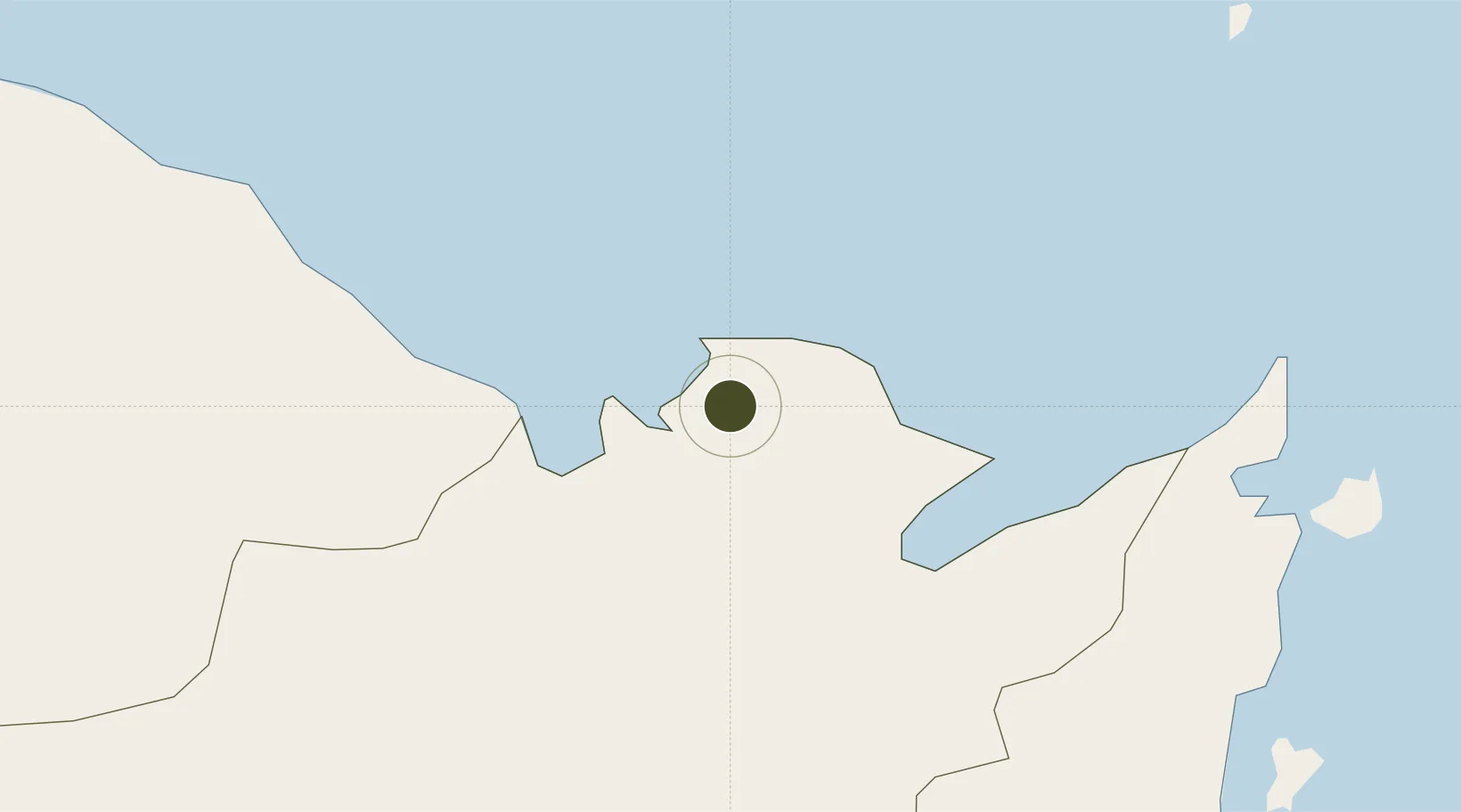
11.5613°, 122.7479°
7 ha
Zone area
5.5 km
Nearest port
4.1 km
Nearest airport

Gateway access

Nearest neighbours — logibook spatial index (haversine) over the source coordinates

Zone profile

Zone type
Specialized Zone
Open Zone Map
Specialization
IT
Open Zone Map
Region
Capiz
Open Zone Map
Status
Active
Open Zone Map
Management
Private
Open Zone Map
Operator
Pueblo de Panay, Inc.
Open Zone Map
Legal framework
Special Economic Zone Act (Republic Act No. 7916) (as amended by Republic Act No. 8748)
Open Zone Map

Location

Location of ozm-3814
Natural Earth 10m (public domain) · Capiz · ozm-3814 · 11.56, 122.75GoogleOSMYandex

Nearby Logistics Neighbours

Ports
  1. 1Port Capiz6 km
  2. 2Iloilo97 km
  3. 3Pulupandan116 km
  4. 4Port Romblon125 km
  5. 5Masbate130 km
Nearest neighbours — logibook spatial index (haversine) over the source coordinates
Airports
  1. 1Roxas Airport4 km
  2. 2Kalibo International Airport43 km
  3. 3Iloilo International Airport86 km
  4. 4Bacolod-Silay International Airport92 km
  5. 5Godofredo P. Ramos Airport95 km
Nearest neighbours — logibook spatial index (haversine) over the source coordinates
Cities
  1. 1Culasi7 km
  2. 2Ajuy54 km
  3. 3Cajidiocan, Visayan Isl90 km
  4. 4Iloilo, Panay97 km
  5. 5Bacolod, Negros100 km
Nearest neighbours — logibook spatial index (haversine) over the source coordinates
Trade Zones
  1. 1Sicogon Island Tourism Estate55 km
  2. 2Bamboo Technology & Development Park56 km
  3. 3Barotac Nuevo Industry & Economic Park76 km
  4. 4Dumangas Agro-Industrial Zone82 km
  5. 5Eco-Tourism of Cabatuan, Iloilo83 km
Nearest neighbours — logibook spatial index (haversine) over the source coordinates
DatabookThe Record of Consolidated Knowledge
Philippines beyond logistics?
Browse databook

All Sources

Trade ZonesOpen Zone Map
CC BY
Portsthe NGA World Port Index
Public domain (US gov)
AirportsOurAirports
Public domain
LocationsUN/LOCODE
UN/LOCODE — free
← Philippines trade zones