Transport Functions
Port
Road
Airport
Hub Profile
Region
ZAN
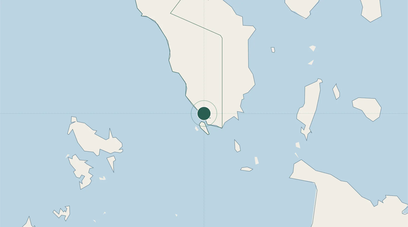
Location
Nearby Logistics Neighbours
Cities
- 1Semirara47 km
- 2Odiongan98 km
- 3Boracay100 km
- 4Puerto Galera129 km
- 5Romblon131 km
Ports
- 1Calapan119 km
- 2Port Romblon131 km
- 3Batangas City156 km
- 4Port Capiz196 km
- 5Nasugbu199 km
Airports
- 1San Jose Airport4 km
- 2Godofredo P. Ramos Airport106 km
- 3Mamburao Airport109 km
- 4Tugdan Airport109 km
- 5Francisco B. Reyes (Busuanga) Airport110 km
Trade Zones
DatabookThe Record of Consolidated Knowledge
Philippines beyond logistics?