Transport Functions
Port
Road
Hub Profile
Region
ROM
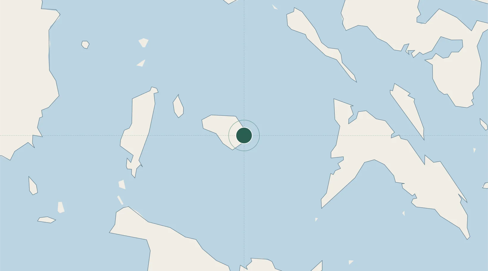
Location
Nearby Logistics Neighbours
Ports
- 1Port Romblon51 km
- 2Port Capiz85 km
- 3Masbate101 km
- 4Legazpi Port145 km
- 5Sorsogon158 km
Airports
- 1Tugdan Airport65 km
- 2Kalibo International Airport83 km
- 3Roxas Airport86 km
- 4Godofredo P. Ramos Airport93 km
- 5Moises R. Espinosa Airport103 km
Trade Zones
DatabookThe Record of Consolidated Knowledge
Philippines beyond logistics?