Medium airport · Philippines

San Jose AirportRPUH
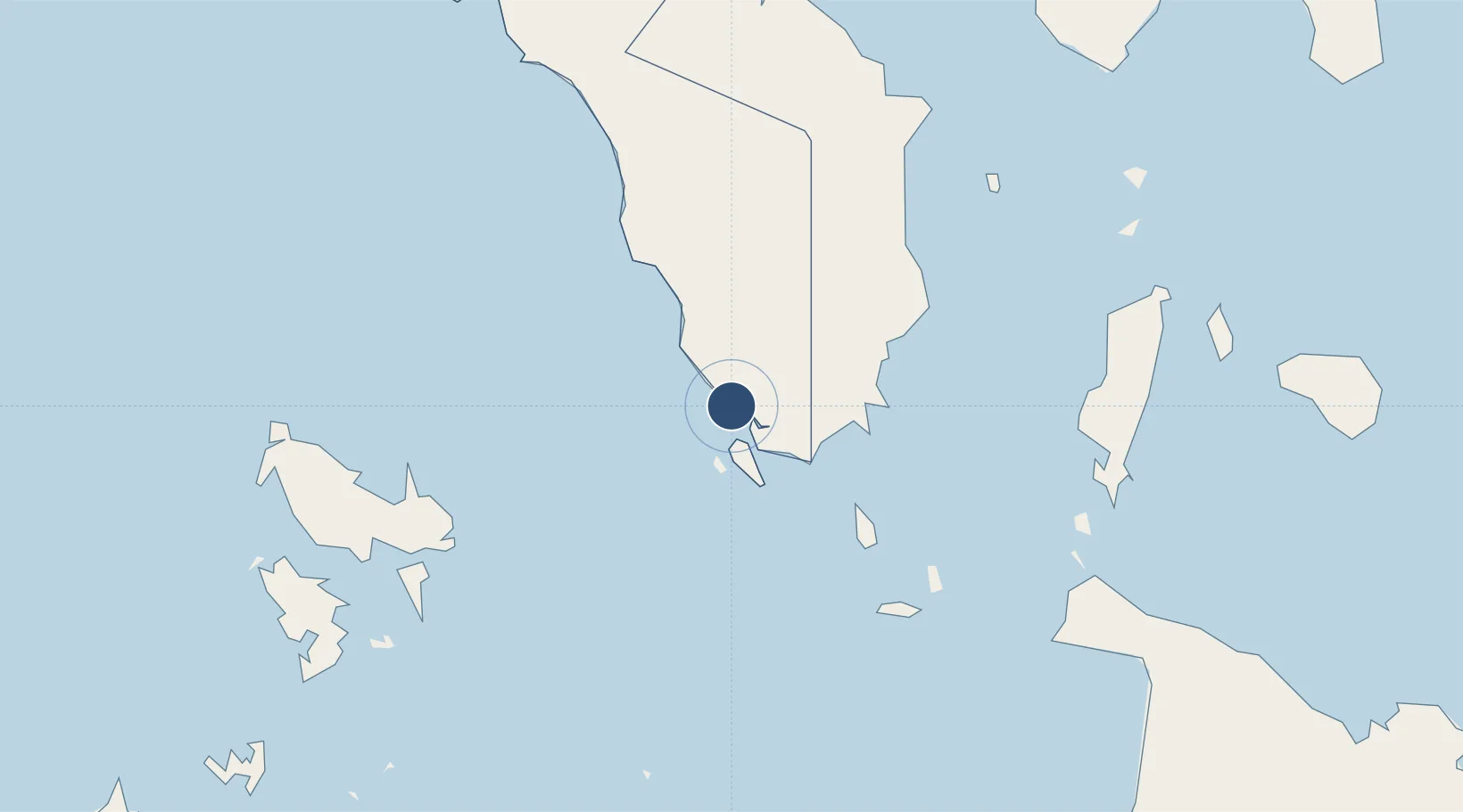
12.3615°, 121.0470°
6,024 ft
Longest runway
1
Runways
14 ft
Elevation

Runway & Layout

San Jose Airport runway & taxiway layout
Runway & taxiway layout — OpenStreetMap (ODbL) / OurAirports

Radio Frequencies

FSS
118.3 MHz
RDO
OurAirports

Navaids

SAJ VOR-DME San Jose 117.10 MHz
OurAirports

Runways · 1

RunwayDimensions SurfaceTrue headingLit
10/28 6,024 × 98ft Concrete 105°
OurAirports

Airport Specifications

IATA code
SJI
OurAirports
ICAO code
RPUH
OurAirports
Airport class
Medium airport
OurAirports
Scheduled service
Yes
OurAirports
Runway surface
Concrete
OurAirports
Served city
San Jose
OurAirports

Location

Location of RPUH
Natural Earth 10m (public domain) · Mindoro Occidental · RPUH · 12.36, 121.05GoogleOSMYandex

Nearby Logistics Neighbours

Airports
  1. 1Mamburao Airport106 km
  2. 2Francisco B. Reyes (Busuanga) Airport106 km
  3. 3Godofredo P. Ramos Airport110 km
  4. 4Tugdan Airport113 km
  5. 5Marinduque Airport140 km
Nearest neighbours — logibook spatial index (haversine) over the source coordinates
Cities
  1. 1San Jose Apt, Mindoro4 km
  2. 2Semirara51 km
  3. 3Odiongan102 km
  4. 4Boracay104 km
  5. 5Puerto Galera127 km
Nearest neighbours — logibook spatial index (haversine) over the source coordinates
Ports
  1. 1Calapan118 km
  2. 2Port Romblon135 km
  3. 3Batangas City154 km
  4. 4Nasugbu197 km
  5. 5Port Capiz200 km
Nearest neighbours — logibook spatial index (haversine) over the source coordinates
Trade Zones
  1. 1Boracay Eco-Village Resort Tourism Ecozone102 km
  2. 2New Coast Boracay Ecozone104 km
  3. 3Pamalican Island Tourism Ecozone118 km
  4. 4Mangenguey Island Resort Project134 km
  5. 5Tabangao Special Economic Zone151 km
Nearest neighbours — logibook spatial index (haversine) over the source coordinates
DatabookThe Record of Consolidated Knowledge
Philippines beyond logistics?
Browse databook

All Sources

AirportsOurAirports
Public domain
Portsthe NGA World Port Index
Public domain (US gov)
LocationsUN/LOCODE
UN/LOCODE — free
Trade Zonesthe World Bank SEZ database
CC BY 4.0
Trade ZonesOpen Zone Map
CC BY
InfrastructureOpenStreetMap
ODbL 1.0
← Philippines airports