Medium airport · Philippines
Tugdan AirportRPVU
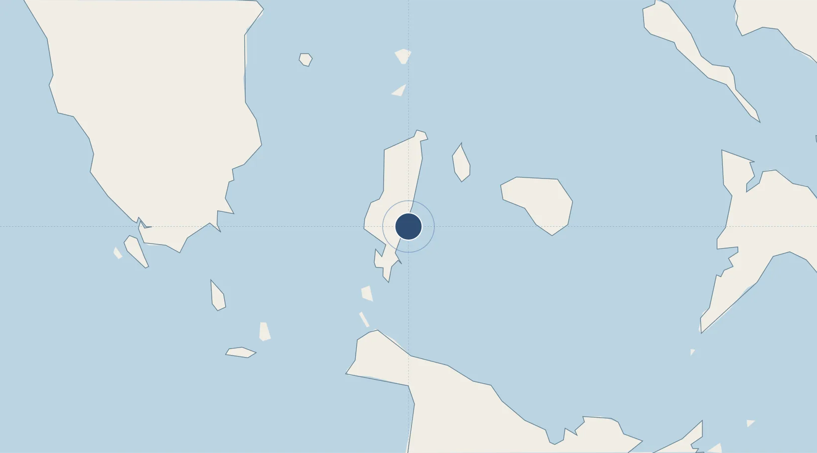
12.3110°, 122.0850°
4,560 ft
Longest runway
1
Runways
10 ft
Elevation
Runway & Layout

Radio Frequencies
FSS
122.3 MHz
RDO
Runways · 1
| Runway | Dimensions | Surface | True heading | Lit |
|---|---|---|---|---|
| 03/21 | 4,560 × 98ft | Asphalt / concrete | 025° | — |
Airport Specifications
IATA code
TBH
ICAO code
RPVU
Airport class
Medium airport
Scheduled service
Yes
Runway surface
Asphalt / concrete
Served city
Tablas Island
Location
Nearby Logistics Neighbours
Airports
- 1Godofredo P. Ramos Airport45 km
- 2Kalibo International Airport77 km
- 3Roxas Airport108 km
- 4San Jose Airport113 km
- 5Marinduque Airport120 km
Cities
- 1Odiongan15 km
- 2Romblon35 km
- 3Boracay42 km
- 4Cajidiocan, Visayan Isl65 km
- 5Semirara79 km
Ports
- 1Port Romblon36 km
- 2Port Capiz105 km
- 3Calapan157 km
- 4Masbate167 km
- 5Hondagua183 km
Trade Zones
DatabookThe Record of Consolidated Knowledge
Philippines beyond logistics?