Transport Functions
Port
Hub Profile
Region
ROM
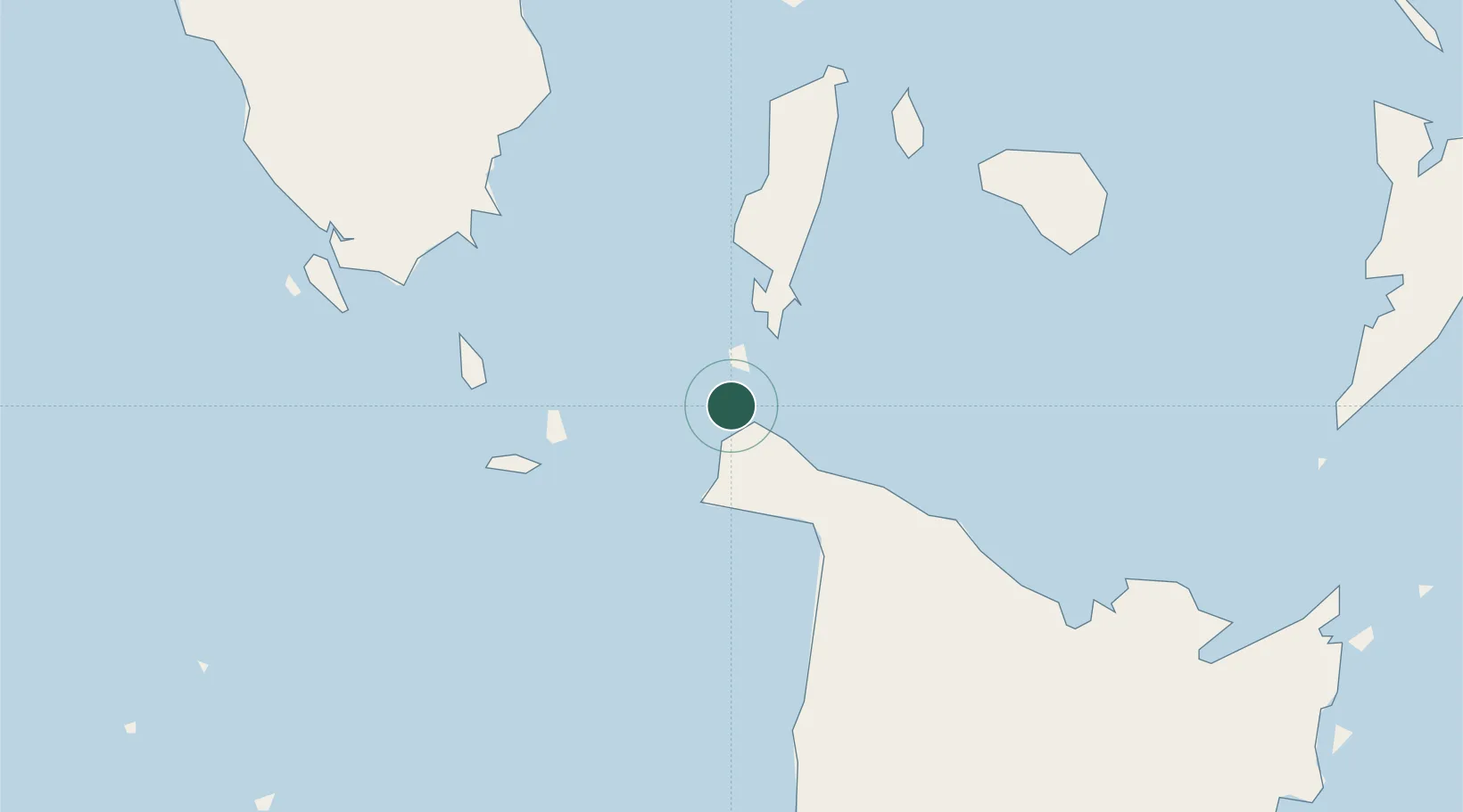
Location
Nearby Logistics Neighbours
Cities
- 1Odiongan49 km
- 2Semirara57 km
- 3Romblon77 km
- 4Cajidiocan, Visayan Isl95 km
- 5Culasi95 km
Ports
- 1Port Romblon78 km
- 2Port Capiz96 km
- 3Iloilo159 km
- 4Calapan180 km
- 5Pulupandan188 km
Airports
- 1Godofredo P. Ramos Airport6 km
- 2Tugdan Airport42 km
- 3Kalibo International Airport59 km
- 4Roxas Airport100 km
- 5San Jose Airport104 km
Trade Zones
DatabookThe Record of Consolidated Knowledge
Philippines beyond logistics?