Medium airport · Philippines

Godofredo P. Ramos AirportRPVE
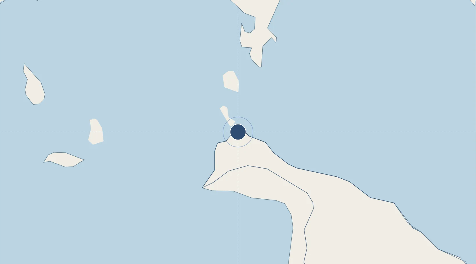
11.9245°, 121.9540°
5,905 ft
Longest runway
1
Runways
7 ft
Elevation

Runway & Layout

Godofredo P. Ramos Airport runway & taxiway layout
Runway & taxiway layout — OpenStreetMap (ODbL) / OurAirports

Radio Frequencies

TWR
122.7 MHz
FSS
520.5 MHz
RDO
OurAirports

Navaids

CT NDB Caticlan 379 kHz
OurAirports

Runways · 1

RunwayDimensions SurfaceTrue headingLit
06/24 5,905 × 98ft Concrete 064°
OurAirports

Airport Specifications

IATA code
MPH
OurAirports
ICAO code
RPVE
OurAirports
Airport class
Medium airport
OurAirports
Scheduled service
Yes
OurAirports
Runway surface
Concrete
OurAirports
Served city
Caticlan
OurAirports

Location

Location of RPVE
Natural Earth 10m (public domain) · Aklan · RPVE · 11.92, 121.95GoogleOSMYandex

Nearby Logistics Neighbours

Airports
  1. 1Tugdan Airport45 km
  2. 2Kalibo International Airport53 km
  3. 3Roxas Airport94 km
  4. 4San Jose Airport110 km
  5. 5Evelio Javier Airport129 km
Nearest neighbours — logibook spatial index (haversine) over the source coordinates
Cities
  1. 1Boracay6 km
  2. 2Odiongan53 km
  3. 3Semirara62 km
  4. 4Romblon79 km
  5. 5Culasi89 km
Nearest neighbours — logibook spatial index (haversine) over the source coordinates
Ports
  1. 1Port Romblon81 km
  2. 2Port Capiz91 km
  3. 3Iloilo153 km
  4. 4Pulupandan182 km
  5. 5Calapan186 km
Nearest neighbours — logibook spatial index (haversine) over the source coordinates
Trade Zones
  1. 1New Coast Boracay Ecozone8 km
  2. 2Boracay Eco-Village Resort Tourism Ecozone9 km
  3. 3Pueblo de Panay Technopark95 km
  4. 4Bamboo Technology & Development Park122 km
  5. 5Eco-Tourism of Cabatuan, Iloilo128 km
Nearest neighbours — logibook spatial index (haversine) over the source coordinates
DatabookThe Record of Consolidated Knowledge
Philippines beyond logistics?
Browse databook

All Sources

AirportsOurAirports
Public domain
Portsthe NGA World Port Index
Public domain (US gov)
LocationsUN/LOCODE
UN/LOCODE — free
Trade Zonesthe World Bank SEZ database
CC BY 4.0
Trade ZonesOpen Zone Map
CC BY
InfrastructureOpenStreetMap
ODbL 1.0
← Philippines airports