Large airport · Philippines

Kalibo International AirportRPVK
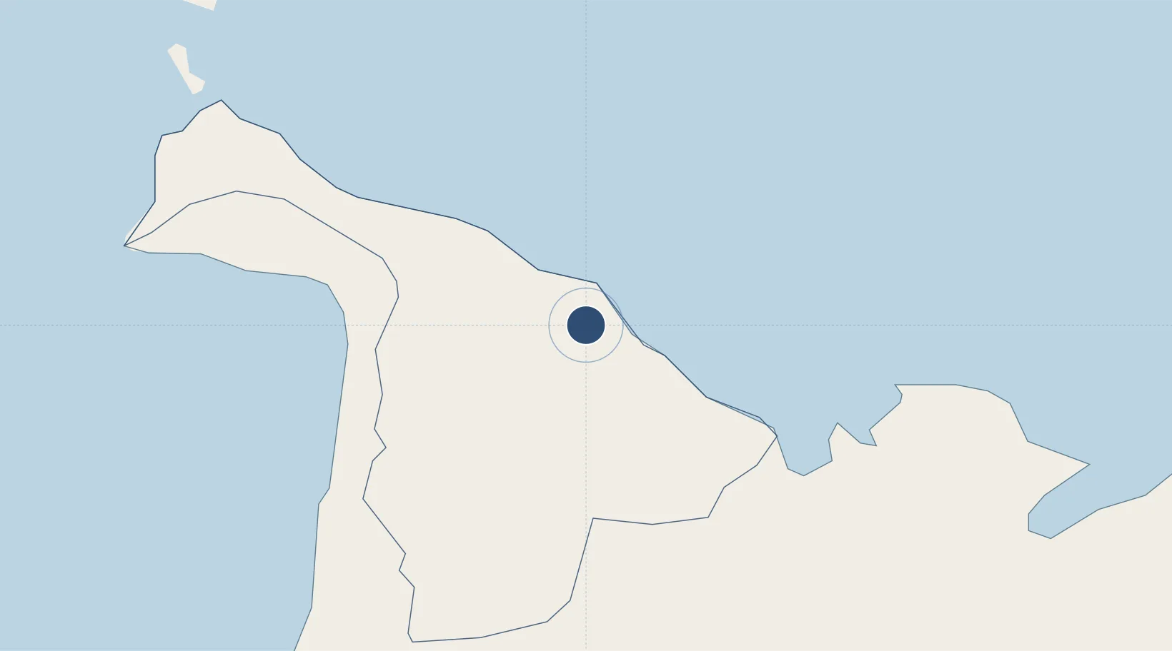
11.6794°, 122.3760°
7,175 ft
Longest runway
1
Runways
14 ft
Elevation

Runway & Layout

Kalibo International Airport runway & taxiway layout
Runway & taxiway layout — OpenStreetMap (ODbL) / OurAirports

Radio Frequencies

TWR
124.2 MHz
Kalibo Tower
APCH
123.1 MHz
Kalibo Approach
OurAirports

Navaids

KL NDB Kalibo 298 kHz
KLO VOR-DME Kalibo 113.00 MHz
OurAirports

Runways · 1

RunwayDimensions SurfaceTrue headingLit
05/23 7,175 × 148ft Concrete 049°
OurAirports

Airport Specifications

IATA code
KLO
OurAirports
ICAO code
RPVK
OurAirports
Airport class
Large airport
OurAirports
Scheduled service
Yes
OurAirports
Runway surface
Concrete
OurAirports
Served city
Kalibo
OurAirports

Location

Location of RPVK
Natural Earth 10m (public domain) · Aklan · RPVK · 11.68, 122.38GoogleOSMYandex

Nearby Logistics Neighbours

Airports
  1. 1Roxas Airport42 km
  2. 2Godofredo P. Ramos Airport53 km
  3. 3Tugdan Airport77 km
  4. 4Iloilo International Airport95 km
  5. 5Evelio Javier Airport112 km
Nearest neighbours — logibook spatial index (haversine) over the source coordinates
Cities
  1. 1Culasi36 km
  2. 2Boracay59 km
  3. 3Cajidiocan, Visayan Isl83 km
  4. 4Odiongan91 km
  5. 5Ajuy92 km
Nearest neighbours — logibook spatial index (haversine) over the source coordinates
Ports
  1. 1Port Capiz38 km
  2. 2Port Romblon101 km
  3. 3Iloilo111 km
  4. 4Pulupandan137 km
  5. 5Masbate155 km
Nearest neighbours — logibook spatial index (haversine) over the source coordinates
Trade Zones
  1. 1Pueblo de Panay Technopark43 km
  2. 2New Coast Boracay Ecozone60 km
  3. 3Boracay Eco-Village Resort Tourism Ecozone61 km
  4. 4Bamboo Technology & Development Park74 km
  5. 5Eco-Tourism of Cabatuan, Iloilo89 km
Nearest neighbours — logibook spatial index (haversine) over the source coordinates
DatabookThe Record of Consolidated Knowledge
Philippines beyond logistics?
Browse databook

All Sources

AirportsOurAirports
Public domain
Portsthe NGA World Port Index
Public domain (US gov)
LocationsUN/LOCODE
UN/LOCODE — free
Trade Zonesthe World Bank SEZ database
CC BY 4.0
Trade ZonesOpen Zone Map
CC BY
InfrastructureOpenStreetMap
ODbL 1.0
← Philippines airports