Runway & Layout

Airport Specifications
IATA code
CYU
ICAO code
RPLO
Airport class
Small airport
Scheduled service
Yes
Served city
Cuyo
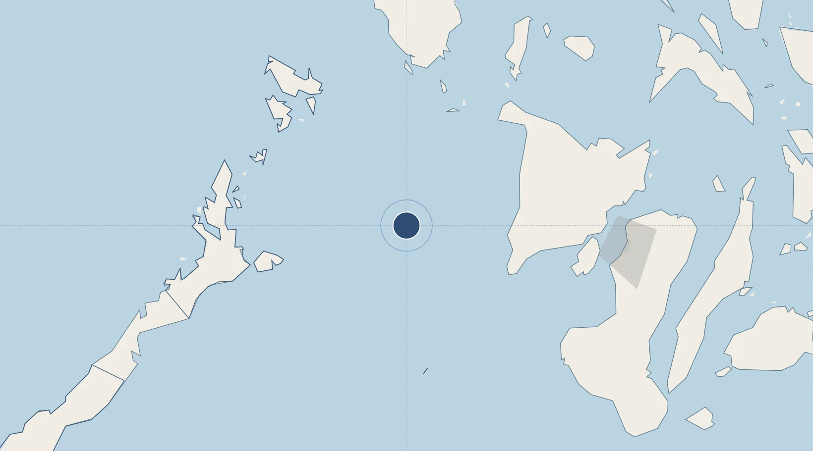
Location
Nearby Logistics Neighbours
Airports
- 1Evelio Javier Airport95 km
- 2Godofredo P. Ramos Airport153 km
- 3Iloilo International Airport156 km
- 4San Jose Airport167 km
- 5Kalibo International Airport169 km
Cities
- 1Hamtic100 km
- 2Semirara139 km
- 3Boracay154 km
- 4San Jose Apt, Mindoro166 km
- 5Iloilo, Panay166 km
Ports
- 1Iloilo166 km
- 2Pulupandan193 km
- 3Port Capiz198 km
- 4Port Romblon232 km
- 5San Carlos260 km
DatabookThe Record of Consolidated Knowledge
Philippines beyond logistics?