Transport Functions
Port
Hub Profile
Place type
District seat
Region
Mimaropa
Population
15,316
Time zone
Asia/Manila
Elevation
14 m
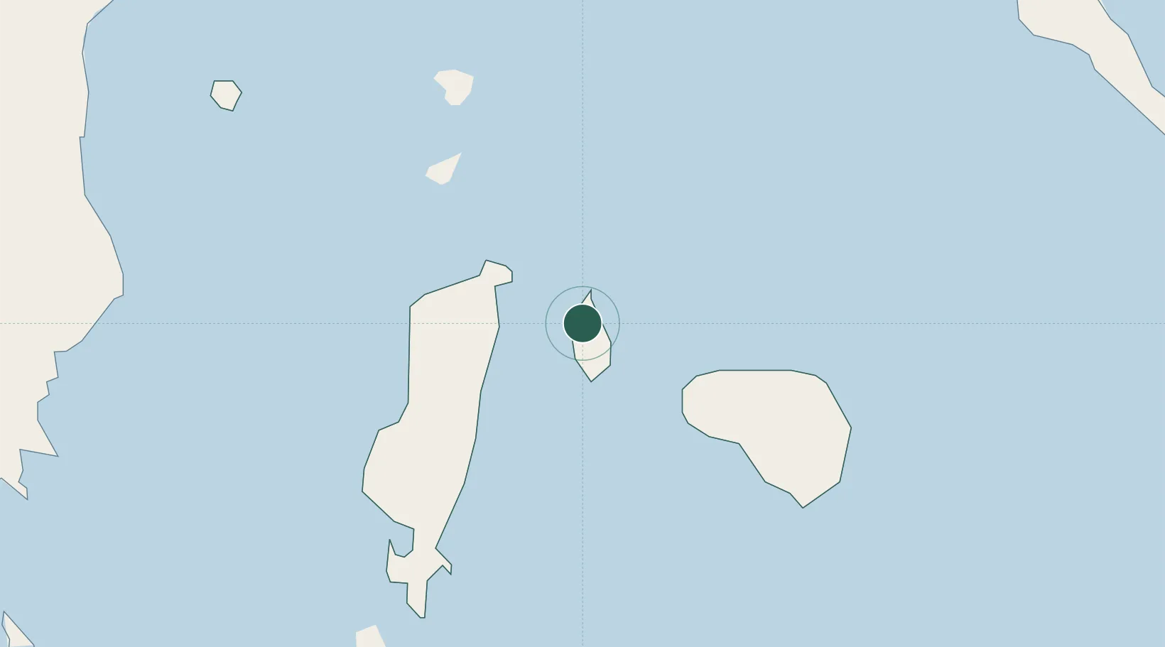
Location
Nearby Logistics Neighbours
Cities
- 1Odiongan36 km
- 2Cajidiocan, Visayan Isl50 km
- 3Boracay77 km
- 4Boac, Marinduque107 km
- 5Semirara109 km
Ports
- 1Port Capiz118 km
- 2Masbate148 km
- 3Calapan151 km
- 4Hondagua154 km
- 5Legazpi Port173 km
Airports
- 1Tugdan Airport35 km
- 2Godofredo P. Ramos Airport79 km
- 3Kalibo International Airport99 km
- 4Marinduque Airport100 km
- 5Roxas Airport120 km
Trade Zones
DatabookThe Record of Consolidated Knowledge
Philippines beyond logistics?