Transport Functions
Multimodal
Hub Profile
Place type
Populated place
Region
National Capital Region
Time zone
Asia/Manila
Elevation
15 m
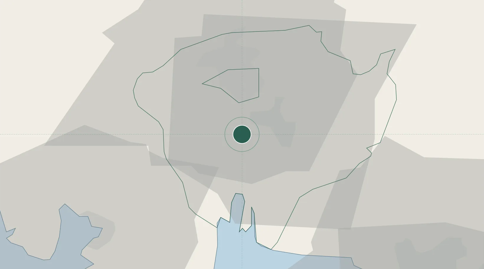
Location
Nearby Logistics Neighbours
Cities
- 1Clark Field (Angeles)17 km
- 2Bulacan35 km
- 3Plaridel/Ozamis40 km
- 4Olongapo43 km
- 5Subic Bay44 km
Airports
Trade Zones
DatabookThe Record of Consolidated Knowledge
Philippines beyond logistics?