ECOzone · Philippines

Hermosa Ecozone Industrial Park Under Development
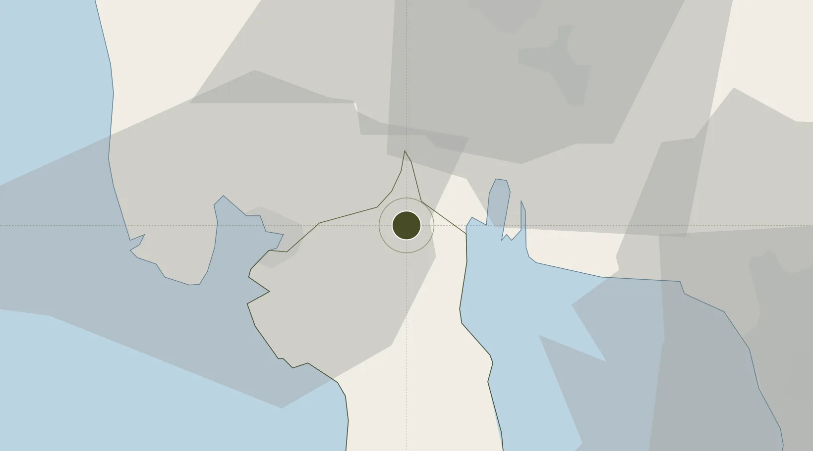
14.8386°, 120.4625°
165 ha
Zone area
21.5 km
Nearest port
21.1 km
Nearest airport

Gateway access

Nearest neighbours — logibook spatial index (haversine) over the source coordinates

Zone profile

Zone type
ECOzone
the World Bank SEZ database
Region
Bataan
the World Bank SEZ database
Status
Under Development
the World Bank SEZ database
Established
2006
the World Bank SEZ database
Management
Private management
the World Bank SEZ database
Operator
Hermosa Ecozone Development Corp.
the World Bank SEZ database
Regulatory authority
Philippines Economic Zone Authority
the World Bank SEZ database
Legal framework
Special Economic Zone Act
the World Bank SEZ database

Location

Location of PHL16
Natural Earth 10m (public domain) · Bataan · PHL16 · 14.84, 120.46GoogleOSMYandex

Fiscal & incentives

Corporate tax
30%
the World Bank SEZ database
Tax relief
100% exempt
the World Bank SEZ database
Relief duration
4-8 years
the World Bank SEZ database
VAT
100% exempt from VAT on utility charges
the World Bank SEZ database
Import duty (inputs)
100% exempt
the World Bank SEZ database
Import duty (capex)
100% exempt
the World Bank SEZ database
Profit repatriation
No exemption
the World Bank SEZ database
Capital gains
No exemption
the World Bank SEZ database
Withholding tax
100% exempt from withholding tax
the World Bank SEZ database
Min. investment
None
the World Bank SEZ database
Min. export
70% for manufacturing and IT industries
the World Bank SEZ database
Employment incentive
No exemption
the World Bank SEZ database
Developer incentive
Yes
the World Bank SEZ database

Nearby Logistics Neighbours

Ports
  1. 1Subic Bay22 km
  2. 2Mariveles45 km
  3. 3Manila61 km
  4. 4Nasugbu86 km
  5. 5Masinloc96 km
Nearest neighbours — logibook spatial index (haversine) over the source coordinates
Airports
  1. 1Subic Bay International Airport / Naval Air Station Cubi Point21 km
  2. 2Clark International Airport / Clark Air Base40 km
  3. 3Danilo Atienza Air Base61 km
  4. 4Ninoy Aquino International Airport70 km
  5. 5Lubang Airport116 km
Nearest neighbours — logibook spatial index (haversine) over the source coordinates
Cities
  1. 1Olongapo19 km
  2. 2Subic Bay21 km
  3. 3Potrero26 km
  4. 4Clark Field (Angeles)40 km
  5. 5Bulacan42 km
Nearest neighbours — logibook spatial index (haversine) over the source coordinates
Trade Zones
  1. 11Bataan BPO Center5 km
  2. 2ACE BPO15 km
  3. 3Bamboo Ecotourism17 km
  4. 4Starmall Bataan (BPO)21 km
  5. 5Subic Shipyard Special Economic Zone26 km
Nearest neighbours — logibook spatial index (haversine) over the source coordinates
DatabookThe Record of Consolidated Knowledge
Philippines beyond logistics?
Browse databook

All Sources

Trade Zonesthe World Bank SEZ database
CC BY 4.0
Portsthe NGA World Port Index
Public domain (US gov)
AirportsOurAirports
Public domain
LocationsUN/LOCODE
UN/LOCODE — free
← Philippines trade zones