Specialized Zone · Philippines

ACE BPO Under Development
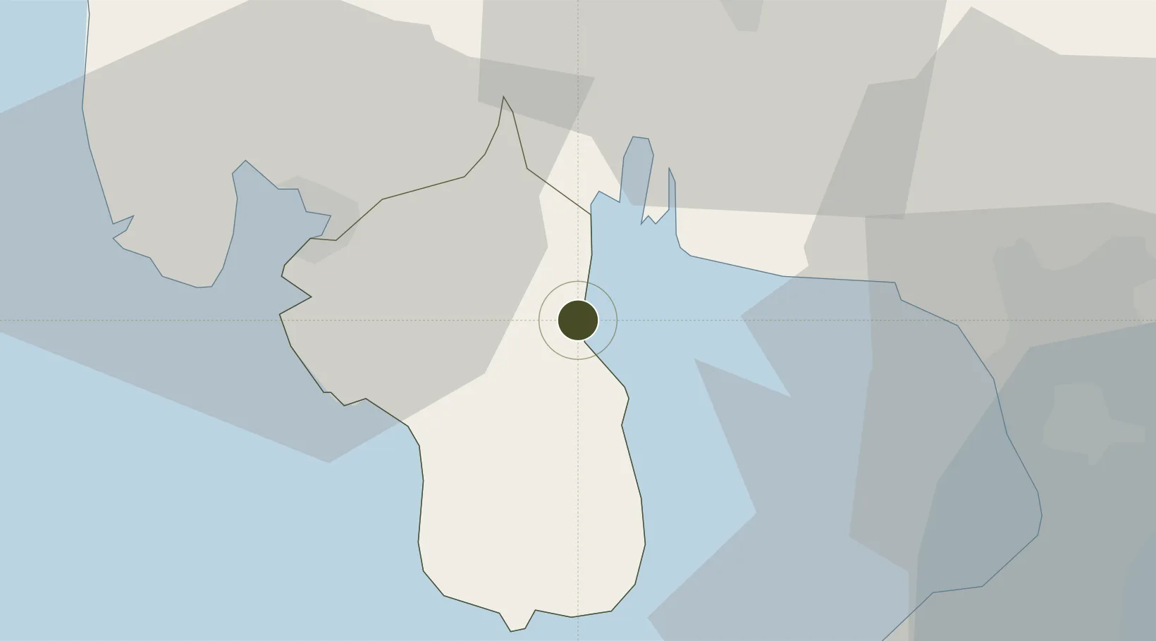
14.7242°, 120.5325°
0 ha
Zone area
29.8 km
Nearest port
29.1 km
Nearest airport

Gateway access

Nearest neighbours — logibook spatial index (haversine) over the source coordinates

Zone profile

Zone type
Specialized Zone
Open Zone Map
Specialization
IT
Open Zone Map
Region
Bataan
Open Zone Map
Status
Under Development
Open Zone Map
Management
Private
Open Zone Map
Operator
Abucay Multi Purpose Cooperative
Open Zone Map
Legal framework
Special Economic Zone Act (Republic Act No. 7916) (as amended by Republic Act No. 8748)
Open Zone Map

Location

Location of ozm-3523
Natural Earth 10m (public domain) · Bataan · ozm-3523 · 14.72, 120.53GoogleOSMYandex

Nearby Logistics Neighbours

Ports
  1. 1Subic Bay30 km
  2. 2Mariveles33 km
  3. 3Manila49 km
  4. 4Nasugbu72 km
  5. 5Masinloc111 km
Nearest neighbours — logibook spatial index (haversine) over the source coordinates
Airports
  1. 1Subic Bay International Airport / Naval Air Station Cubi Point29 km
  2. 2Danilo Atienza Air Base47 km
  3. 3Clark International Airport / Clark Air Base51 km
  4. 4Ninoy Aquino International Airport58 km
  5. 5Lubang Airport107 km
Nearest neighbours — logibook spatial index (haversine) over the source coordinates
Cities
  1. 1Olongapo27 km
  2. 2Subic Bay29 km
  3. 3Lucanin30 km
  4. 4Potrero35 km
  5. 5Bulacan37 km
Nearest neighbours — logibook spatial index (haversine) over the source coordinates
Trade Zones
  1. 1Starmall Bataan (BPO)7 km
  2. 21Bataan BPO Center10 km
  3. 3Hermosa Ecozone Industrial Park15 km
  4. 4Bamboo Ecotourism21 km
  5. 5PNOC Petrochemical Industrial Estate22 km
Nearest neighbours — logibook spatial index (haversine) over the source coordinates
DatabookThe Record of Consolidated Knowledge
Philippines beyond logistics?
Browse databook

All Sources

Trade ZonesOpen Zone Map
CC BY
Portsthe NGA World Port Index
Public domain (US gov)
AirportsOurAirports
Public domain
LocationsUN/LOCODE
UN/LOCODE — free
← Philippines trade zones