Specialized Zone · Philippines

1Bataan BPO Center Under Development
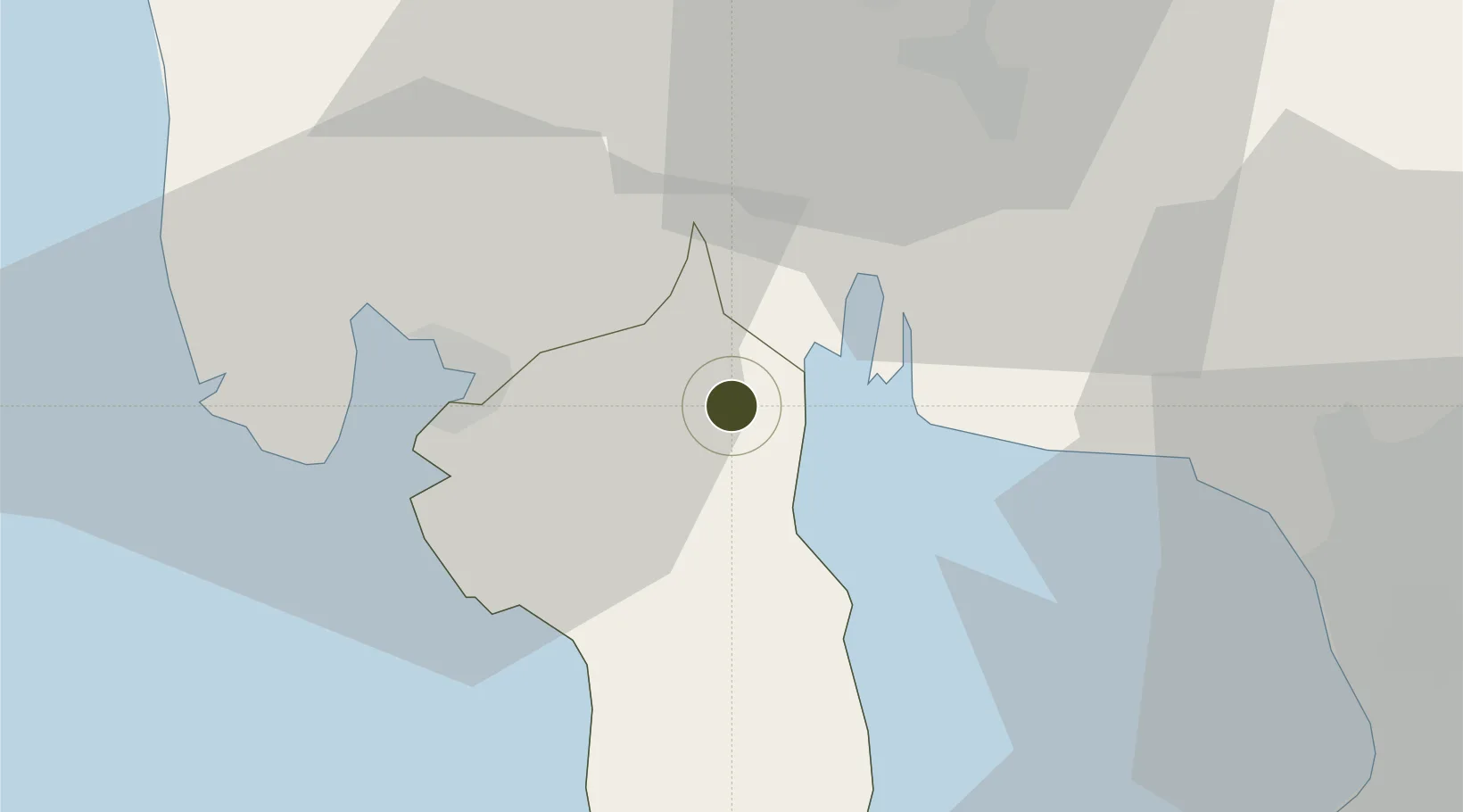
14.8010°, 120.4892°
16 ha
Zone area
23.9 km
Nearest port
23.4 km
Nearest airport

Gateway access

Nearest neighbours — logibook spatial index (haversine) over the source coordinates

Zone profile

Zone type
Specialized Zone
Open Zone Map
Specialization
IT
Open Zone Map
Region
Bataan
Open Zone Map
Status
Under Development
Open Zone Map
Management
Public
Open Zone Map
Operator
The Provincial Government of Bataan
Open Zone Map
Legal framework
Special Economic Zone Act (Republic Act No. 7916) (as amended by Republic Act No. 8748)
Open Zone Map

Location

Location of ozm-3851
Natural Earth 10m (public domain) · Bataan · ozm-3851 · 14.80, 120.49GoogleOSMYandex

Nearby Logistics Neighbours

Ports
  1. 1Subic Bay24 km
  2. 2Mariveles41 km
  3. 3Manila57 km
  4. 4Nasugbu81 km
  5. 5Masinloc101 km
Nearest neighbours — logibook spatial index (haversine) over the source coordinates
Airports
  1. 1Subic Bay International Airport / Naval Air Station Cubi Point23 km
  2. 2Clark International Airport / Clark Air Base44 km
  3. 3Danilo Atienza Air Base56 km
  4. 4Ninoy Aquino International Airport66 km
  5. 5Lubang Airport113 km
Nearest neighbours — logibook spatial index (haversine) over the source coordinates
Cities
  1. 1Olongapo21 km
  2. 2Subic Bay23 km
  3. 3Potrero28 km
  4. 4Bulacan39 km
  5. 5Lucanin40 km
Nearest neighbours — logibook spatial index (haversine) over the source coordinates
Trade Zones
  1. 1Hermosa Ecozone Industrial Park5 km
  2. 2ACE BPO10 km
  3. 3Starmall Bataan (BPO)16 km
  4. 4Bamboo Ecotourism17 km
  5. 5Subic Shipyard Special Economic Zone30 km
Nearest neighbours — logibook spatial index (haversine) over the source coordinates
DatabookThe Record of Consolidated Knowledge
Philippines beyond logistics?
Browse databook

All Sources

Trade ZonesOpen Zone Map
CC BY
Portsthe NGA World Port Index
Public domain (US gov)
AirportsOurAirports
Public domain
LocationsUN/LOCODE
UN/LOCODE — free
← Philippines trade zones