Transport Functions
Rail
Road
Hub Profile
Region
PAM
Logistics facilities
1
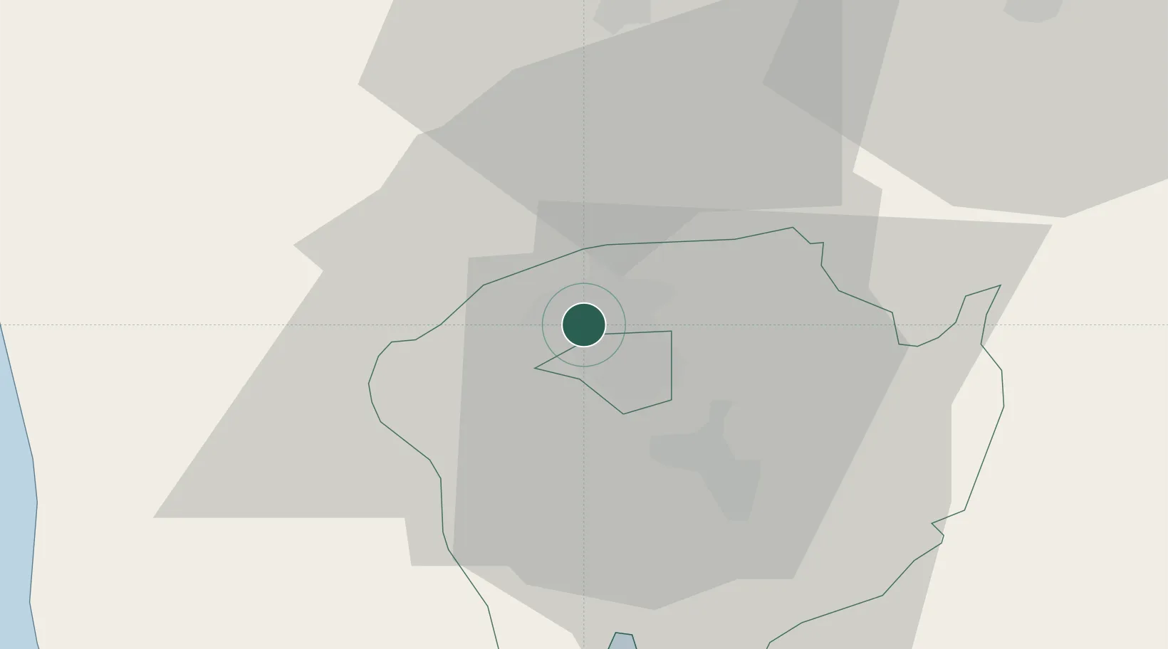
Location
Nearby Logistics Neighbours
Cities
- 1Potrero17 km
- 2Bulacan50 km
- 3Plaridel/Ozamis51 km
- 4Subic Bay53 km
- 5Olongapo53 km
Airports
Trade Zones
DatabookThe Record of Consolidated Knowledge
Philippines beyond logistics?