UN/LOCODE hub · Philippines
PHBOS

Boston/Davao

7.8667°, 126.3500°
1
Transport functions

Transport Functions

Port
UN/LOCODE

Hub Profile

Region
DAO
GeoNames

Location

Location of PHBOS
Natural Earth 10m (public domain) · DAO · PHBOS · 7.87, 126.35GoogleOSMYandex

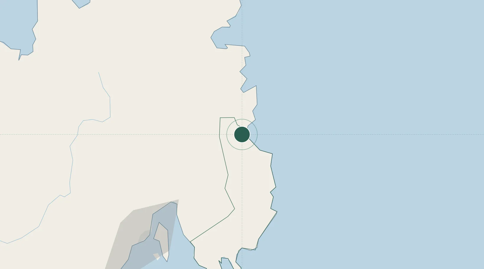
Nearby Logistics Neighbours

Cities
  1. 1DICT / SVT97 km
  2. 2Panabo97 km
  3. 3Marihatag, Mindanao102 km
  4. 4Davao, Mindanao109 km
  5. 5Aras Asan/Bislig113 km
Nearest neighbours — logibook spatial index (haversine) over the source coordinates
Ports
  1. 1Mangagoy41 km
  2. 2Hinatuan56 km
  3. 3Mati103 km
  4. 4Davao120 km
  5. 5Butuan City150 km
Nearest neighbours — logibook spatial index (haversine) over the source coordinates
Airports
  1. 1Bislig Airport37 km
  2. 2Mati National Airport102 km
  3. 3Francisco Bangoy International Airport113 km
  4. 4Tandag Airport136 km
  5. 5Bancasi Airport154 km
Nearest neighbours — logibook spatial index (haversine) over the source coordinates
Trade Zones
  1. 1Hijo Tourism Economic Zone82 km
  2. 2The Kopiat Island Resort Project87 km
  3. 3ANFLO Special Economic Zone95 km
  4. 4A57 Techno Park102 km
  5. 5TESDA XI Information Technology Center107 km
Nearest neighbours — logibook spatial index (haversine) over the source coordinates
DatabookThe Record of Consolidated Knowledge
Philippines beyond logistics?
Browse databook

All Sources

LocationsUN/LOCODE
UN/LOCODE — free
Portsthe NGA World Port Index
Public domain (US gov)
AirportsOurAirports
Public domain
Trade Zonesthe World Bank SEZ database
CC BY 4.0
Trade ZonesOpen Zone Map
CC BY
← Philippines locations