Transport Functions
Port
Road
Hub Profile
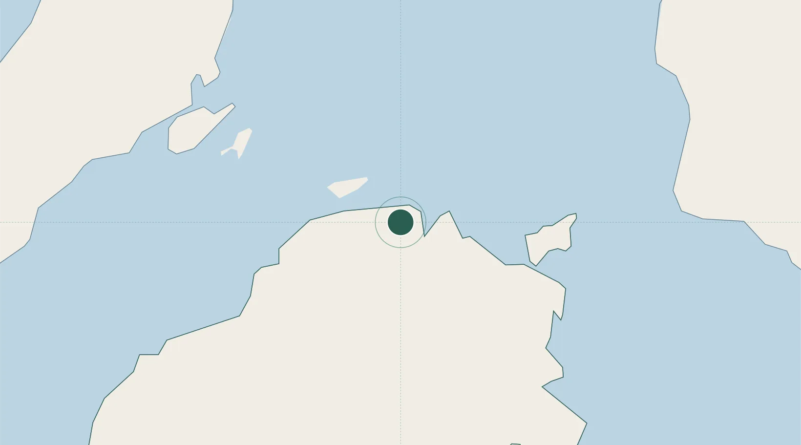
Place type
District seat
Region
Central Visayas
Population
11,209
Time zone
Asia/Manila
Elevation
11 m
Location
Nearby Logistics Neighbours
Cities
- 1Mactan Island Apt39 km
- 2Tubigon43 km
- 3Lapu-Lapu, Cebu45 km
- 4Mandaue, Cebu47 km
- 5Cebu48 km
Ports
- 1Tubigan43 km
- 2Cebu49 km
- 3Maasin57 km
- 4Tagbilaran74 km
- 5Toledo79 km
Airports
- 1Mactan Cebu International Airport42 km
- 2Bohol-Panglao International Airport86 km
- 3Ormoc Airport106 km
- 4Camiguin Airport107 km
- 5Surigao Airport134 km
Trade Zones
- 1The Mactan Newtown39 km
- 2MacroAsia Cebu Special Ecozone42 km
- 3Mactan Economic Zone42 km
- 4Cebu Light Industrial Park43 km
- 5Mactan Ecozone II43 km
DatabookThe Record of Consolidated Knowledge
Philippines beyond logistics?