UN/LOCODE hub · Philippines
PHNUG

Nasugbu, Luzon

14.0667°, 120.6333°
1
Transport functions

Transport Functions

Port
Nasugbu, Luzon is also a profiled seaport →
UN/LOCODE

Hub Profile

Region
BTG
GeoNames

Location

Location of PHNUG
Natural Earth 10m (public domain) · BTG · PHNUG · 14.07, 120.63GoogleOSMYandex

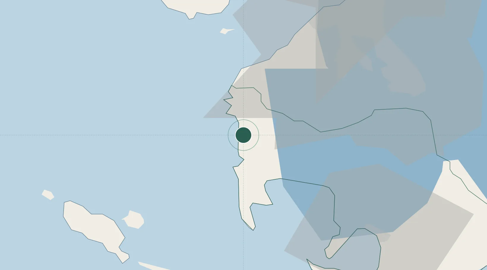
Nearby Logistics Neighbours

Cities
  1. 1Corregidor Island36 km
  2. 2Cavite, Luzon41 km
  3. 3Lucanin45 km
  4. 4Bauan/Batangas49 km
  5. 5Batangas/Luzon51 km
Nearest neighbours — logibook spatial index (haversine) over the source coordinates
Ports
  1. 1Mariveles44 km
  2. 2Batangas City57 km
  3. 3Manila68 km
  4. 4Subic Bay91 km
  5. 5Calapan94 km
Nearest neighbours — logibook spatial index (haversine) over the source coordinates
Airports
  1. 1Danilo Atienza Air Base56 km
  2. 2Lubang Airport62 km
  3. 3Ninoy Aquino International Airport64 km
  4. 4Subic Bay International Airport / Naval Air Station Cubi Point90 km
  5. 5Mamburao Airport96 km
Nearest neighbours — logibook spatial index (haversine) over the source coordinates
Trade Zones
  1. 1Cavite Biofuels Ecozone17 km
  2. 2Camp David of the East17 km
  3. 3Calaca-Balayan Industrial Park23 km
  4. 4Club Filipiniana Resort24 km
  5. 5EDAMPI Industrial Park31 km
Nearest neighbours — logibook spatial index (haversine) over the source coordinates
DatabookThe Record of Consolidated Knowledge
Philippines beyond logistics?
Browse databook

All Sources

LocationsUN/LOCODE
UN/LOCODE — free
Portsthe NGA World Port Index
Public domain (US gov)
AirportsOurAirports
Public domain
Trade Zonesthe World Bank SEZ database
CC BY 4.0
Trade ZonesOpen Zone Map
CC BY
← Philippines locations