UN/LOCODE hub · Philippines
PHMNN

Manila North Harbour

14.5842°, 120.9392°
2
Transport functions

Transport Functions

Port
Road
UN/LOCODE

Hub Profile

Logistics facilities
8
UN/LOCODE

Location

Location of PHMNN
Natural Earth 10m (public domain) · PHMNN · 14.58, 120.94GoogleOSMYandex

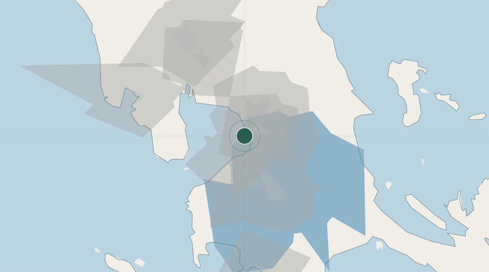
Nearby Logistics Neighbours

Cities
  1. 1Manila4 km
  2. 2Philippines7 km
  3. 3Navotas7 km
  4. 4Caloocan City8 km
  5. 5Makati City8 km
Nearest neighbours — logibook spatial index (haversine) over the source coordinates
Ports
  1. 1Manila3 km
  2. 2Mariveles52 km
  3. 3Nasugbu66 km
  4. 4Subic Bay76 km
  5. 5Batangas City94 km
Nearest neighbours — logibook spatial index (haversine) over the source coordinates
Airports
  1. 1Danilo Atienza Air Base11 km
  2. 2Ninoy Aquino International Airport12 km
  3. 3Subic Bay International Airport / Naval Air Station Cubi Point76 km
  4. 4Clark International Airport / Clark Air Base78 km
  5. 5Lubang Airport121 km
Nearest neighbours — logibook spatial index (haversine) over the source coordinates
Trade Zones
  1. 1Philam Life Cubao Building1 km
  2. 2Velco Centre3 km
  3. 3New Washington Yacht Club Resorts3 km
  4. 4World Trade Exchange Building4 km
  5. 5The Orchard Tower Manila4 km
Nearest neighbours — logibook spatial index (haversine) over the source coordinates
DatabookThe Record of Consolidated Knowledge
Philippines beyond logistics?
Browse databook

All Sources

LocationsUN/LOCODE
UN/LOCODE — free
Portsthe NGA World Port Index
Public domain (US gov)
AirportsOurAirports
Public domain
Trade Zonesthe World Bank SEZ database
CC BY 4.0
Trade ZonesOpen Zone Map
CC BY
← Philippines locations