Transport Functions
Multimodal
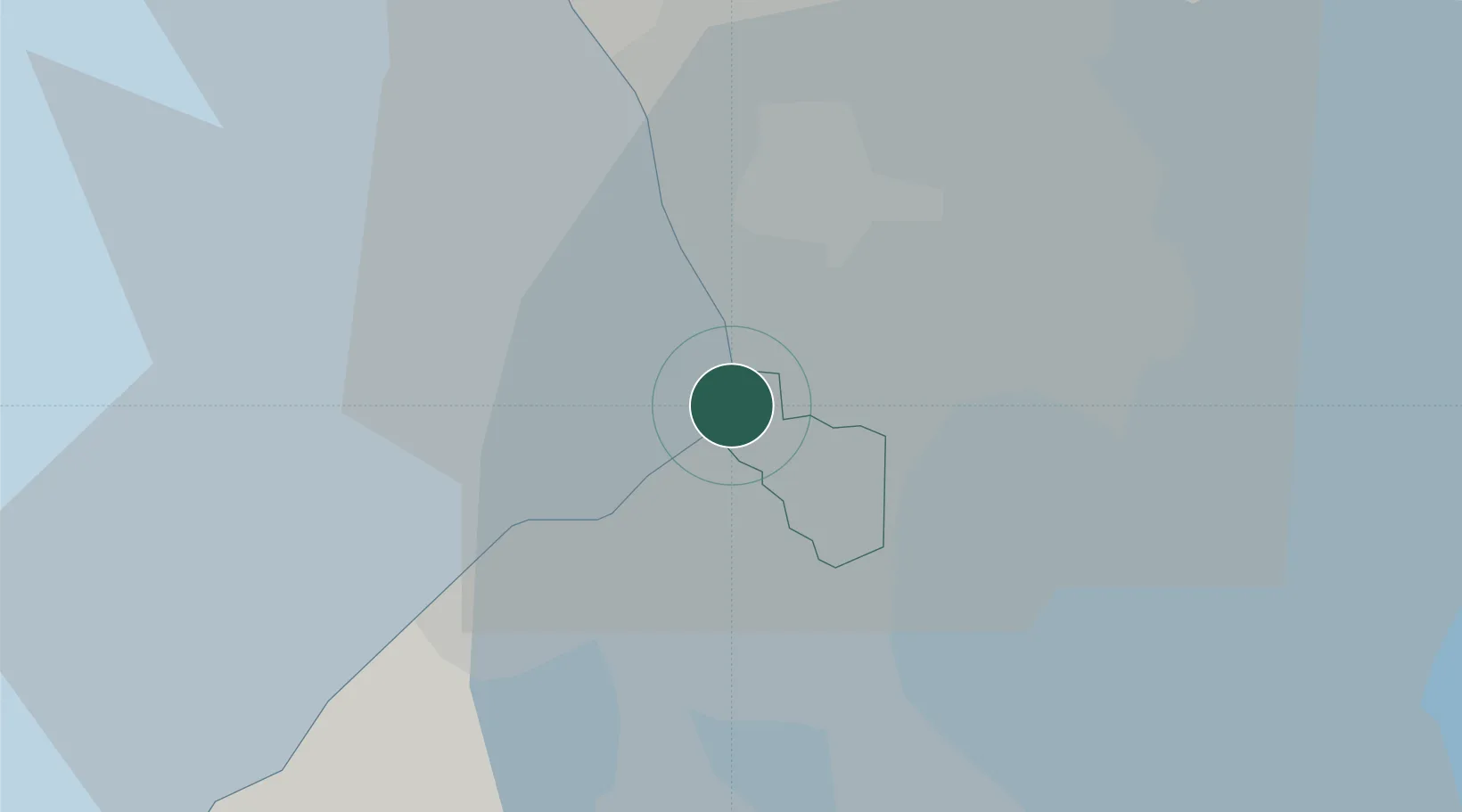
Location
Nearby Logistics Neighbours
Cities
- 1Bangkal3 km
- 2Makati City5 km
- 3Manila7 km
- 4Philippines8 km
- 5Manila North Harbour9 km
Ports
- 1Manila8 km
- 2Mariveles55 km
- 3Nasugbu62 km
- 4Subic Bay83 km
- 5Batangas City86 km
Airports
Trade Zones
DatabookThe Record of Consolidated Knowledge
Philippines beyond logistics?