UN/LOCODE hub · Philippines
PHVZA
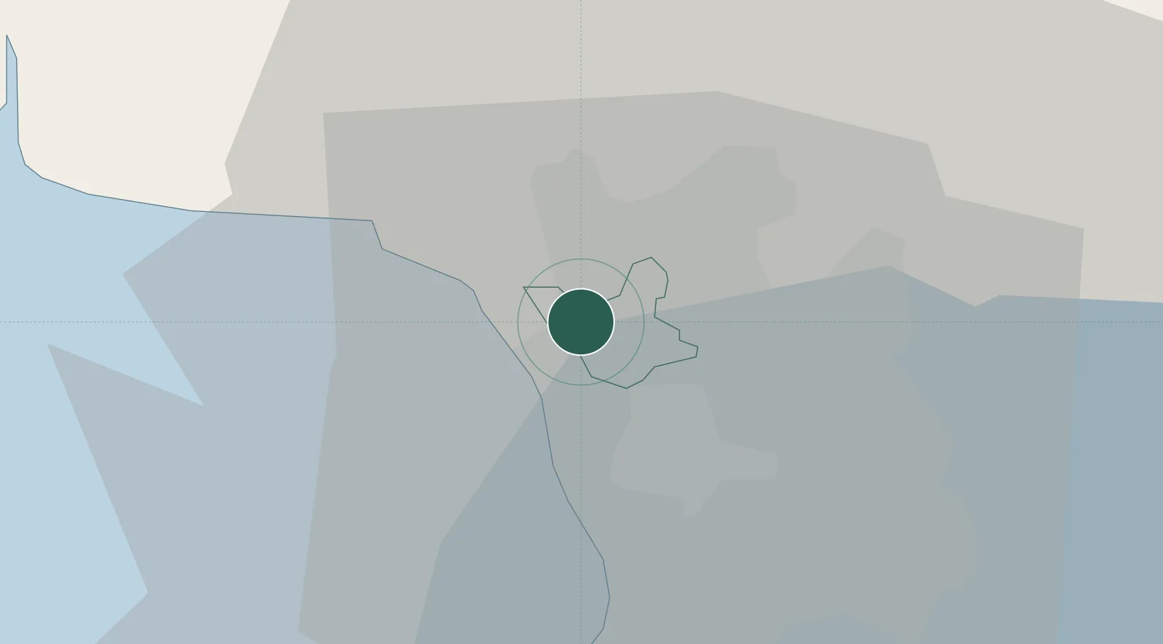
Valenzuela
14.7000°, 120.9667°
725,173
Population
1
Transport functions
Transport Functions
Multimodal
Hub Profile
Place type
District seat
Region
National Capital Region
Population
725,173
Time zone
Asia/Manila
Elevation
12 m
Location
Nearby Logistics Neighbours
Cities
- 1Caloocan City6 km
- 2Navotas7 km
- 3San Juan10 km
- 4Quezon City10 km
- 5Muntinlupa City13 km
Ports
- 1Manila13 km
- 2Mariveles60 km
- 3Subic Bay76 km
- 4Nasugbu78 km
- 5Batangas City106 km
Airports
Trade Zones
DatabookThe Record of Consolidated Knowledge
Philippines beyond logistics?