Diversified Zone · Philippines

Luisita Industrial Park Active
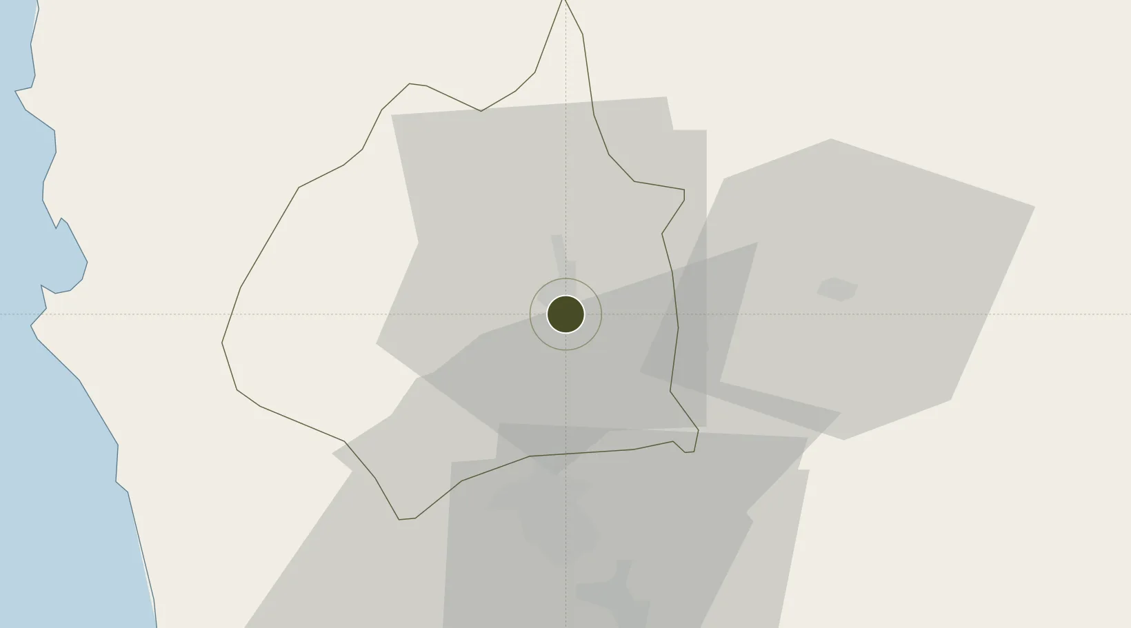
15.4441°, 120.6044°
29 ha
Zone area
71.1 km
Nearest port
29.1 km
Nearest airport

Gateway access

Nearest neighbours — logibook spatial index (haversine) over the source coordinates

Zone profile

Zone type
Diversified Zone
Open Zone Map
Region
Tarlac
Open Zone Map
Status
Active
Open Zone Map
Management
Private
Open Zone Map
Operator
Luisita Realty Corporation
Open Zone Map
Legal framework
Special Economic Zone Act (Republic Act No. 7916) (as amended by Republic Act No. 8748)
Open Zone Map

Location

Location of ozm-3121
Natural Earth 10m (public domain) · Tarlac · ozm-3121 · 15.44, 120.60GoogleOSMYandex

Nearby Logistics Neighbours

Ports
  1. 1Masinloc71 km
  2. 2Subic Bay80 km
  3. 3Manila103 km
  4. 4Mariveles113 km
  5. 5San Fernando Harbor134 km
Nearest neighbours — logibook spatial index (haversine) over the source coordinates
Airports
  1. 1Clark International Airport / Clark Air Base29 km
  2. 2Subic Bay International Airport / Naval Air Station Cubi Point81 km
  3. 3Dr. Juan C. Angara Airport101 km
  4. 4Loakan Airport104 km
  5. 5Danilo Atienza Air Base110 km
Nearest neighbours — logibook spatial index (haversine) over the source coordinates
Cities
  1. 1Clark Field (Angeles)29 km
  2. 2Cabanatuan39 km
  3. 3Potrero46 km
  4. 4Plaridel/Ozamis67 km
  5. 5Bulacan73 km
Nearest neighbours — logibook spatial index (haversine) over the source coordinates
Trade Zones
  1. 1Robinsons Luisita2 km
  2. 2Tarlac Provincial IT Park II5 km
  3. 3New Clark City - Phase I11 km
  4. 4TECO Industrial Park23 km
  5. 5DMIA Special Economic Zone I28 km
Nearest neighbours — logibook spatial index (haversine) over the source coordinates
DatabookThe Record of Consolidated Knowledge
Philippines beyond logistics?
Browse databook

All Sources

Trade ZonesOpen Zone Map
CC BY
Portsthe NGA World Port Index
Public domain (US gov)
AirportsOurAirports
Public domain
LocationsUN/LOCODE
UN/LOCODE — free
← Philippines trade zones