UN/LOCODE hub · Philippines
PHPLA

Plaridel/Ozamis

14.9486°, 120.9597°
1
Transport functions

Transport Functions

Port
UN/LOCODE

Hub Profile

Logistics facilities
2
UN/LOCODE

Location

Location of PHPLA
Natural Earth 10m (public domain) · Bulacan · PHPLA · 14.95, 120.96GoogleOSMYandex

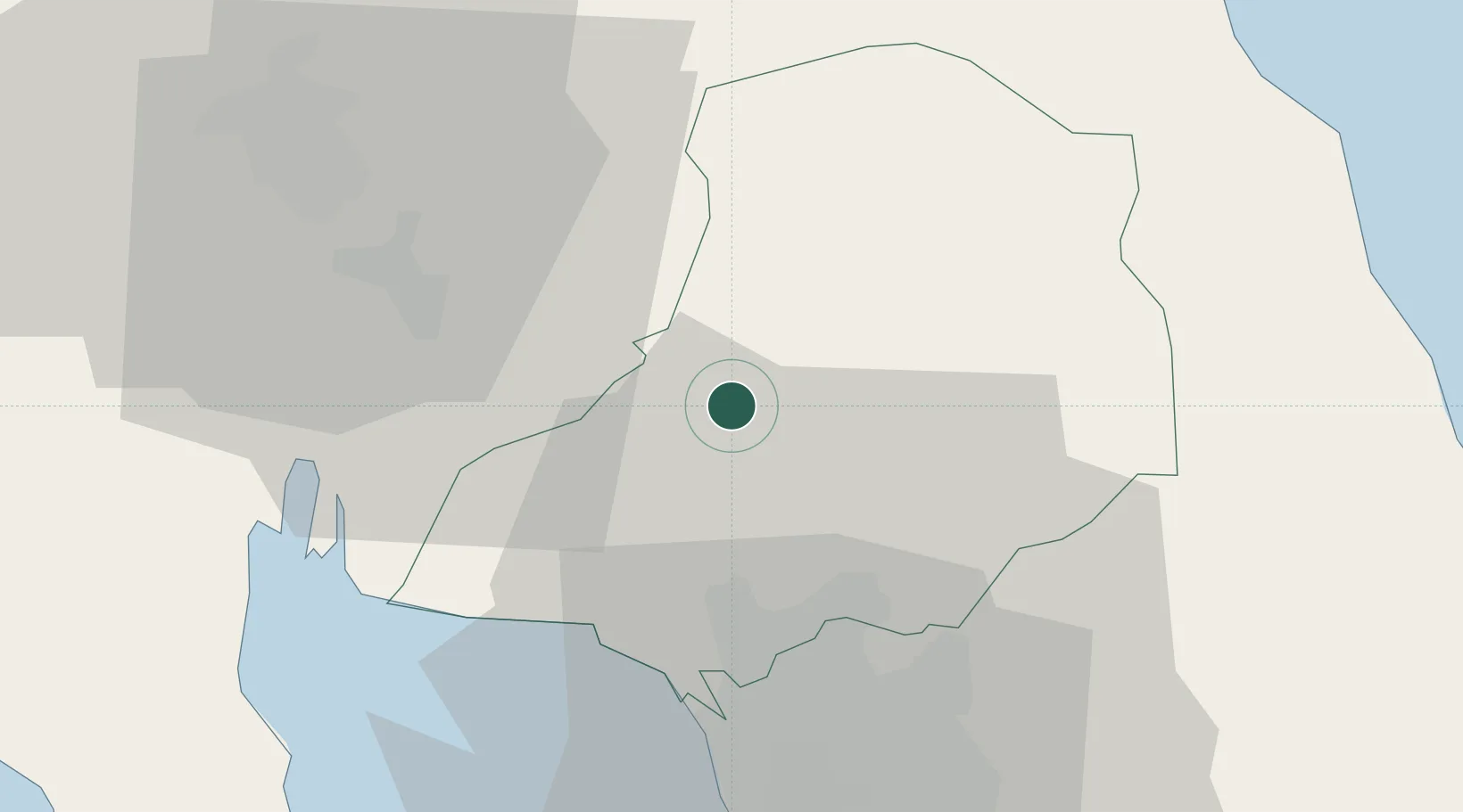
Nearby Logistics Neighbours

Cities
  1. 1Bulacan17 km
  2. 2Valenzuela28 km
  3. 3Caloocan City34 km
  4. 4Navotas34 km
  5. 5San Juan36 km
Nearest neighbours — logibook spatial index (haversine) over the source coordinates
Ports
  1. 1Manila41 km
  2. 2Subic Bay76 km
  3. 3Mariveles77 km
  4. 4Nasugbu103 km
  5. 5Masinloc127 km
Nearest neighbours — logibook spatial index (haversine) over the source coordinates
Trade Zones
  1. 1PDC Information Techno Park4 km
  2. 2Sta. Maria Industrial Park13 km
  3. 3NFEx North Food Exchange16 km
  4. 4Outliers Techno Hub17 km
  5. 5First Bulacan Industrial City Ecozone18 km
Nearest neighbours — logibook spatial index (haversine) over the source coordinates
DatabookThe Record of Consolidated Knowledge
Philippines beyond logistics?
Browse databook

All Sources

LocationsUN/LOCODE
UN/LOCODE — free
Portsthe NGA World Port Index
Public domain (US gov)
AirportsOurAirports
Public domain
Trade Zonesthe World Bank SEZ database
CC BY 4.0
Trade ZonesOpen Zone Map
CC BY
← Philippines locations