Specialized Zone · Philippines

Tarlac Provincial IT Park II Active
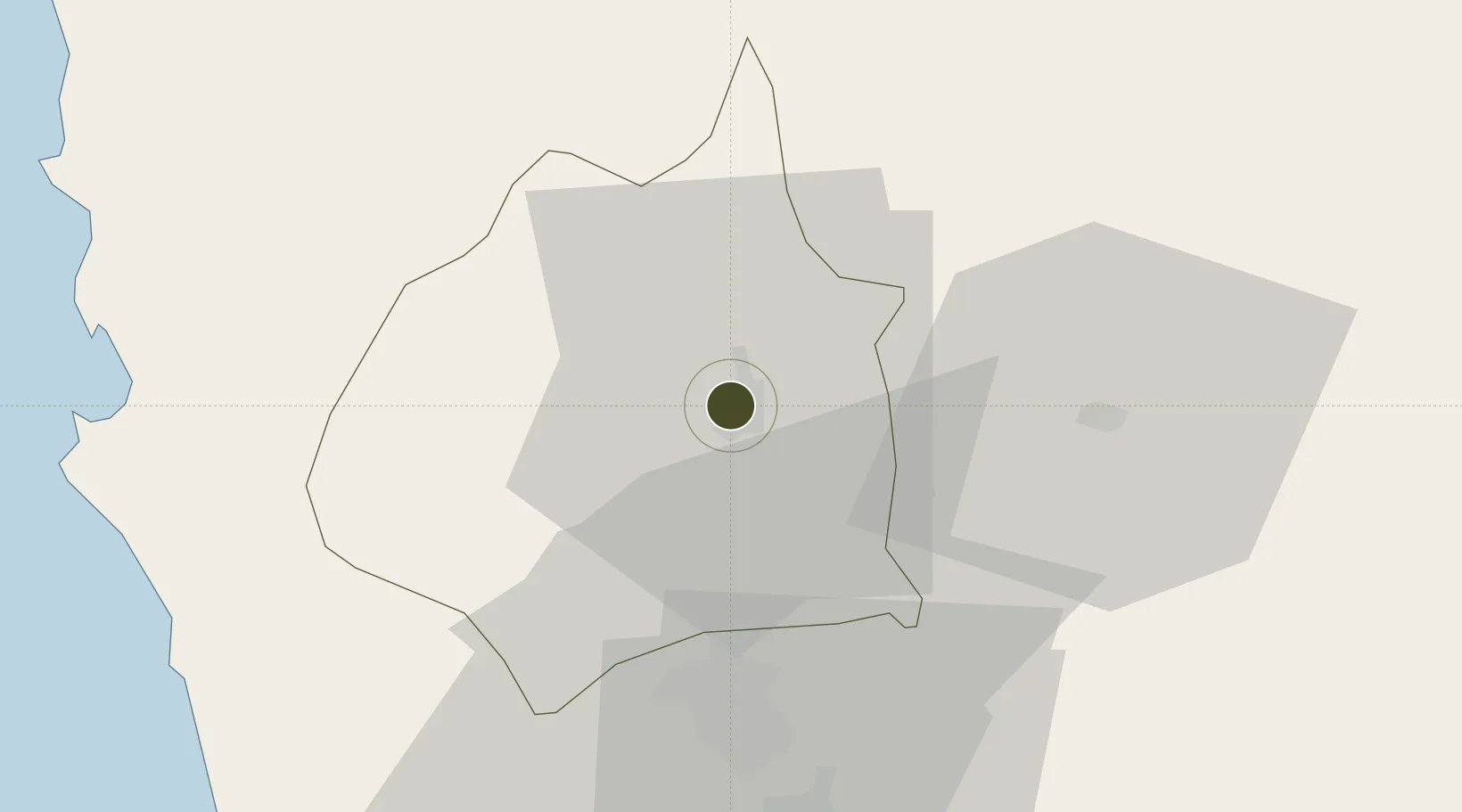
15.4888°, 120.5838°
4 ha
Zone area
68.2 km
Nearest port
33.8 km
Nearest airport

Gateway access

Nearest neighbours — logibook spatial index (haversine) over the source coordinates

Zone profile

Zone type
Specialized Zone
Open Zone Map
Specialization
IT
Open Zone Map
Region
Tarlac
Open Zone Map
Status
Active
Open Zone Map
Management
Public
Open Zone Map
Operator
Provincial Government of Tarlac
Open Zone Map
Legal framework
Special Economic Zone Act (Republic Act No. 7916) (as amended by Republic Act No. 8748)
Open Zone Map

Location

Location of ozm-3782
Natural Earth 10m (public domain) · Tarlac · ozm-3782 · 15.49, 120.58GoogleOSMYandex

Nearby Logistics Neighbours

Ports
  1. 1Masinloc68 km
  2. 2Subic Bay84 km
  3. 3Manila109 km
  4. 4Mariveles118 km
  5. 5San Fernando Harbor129 km
Nearest neighbours — logibook spatial index (haversine) over the source coordinates
Airports
  1. 1Clark International Airport / Clark Air Base34 km
  2. 2Subic Bay International Airport / Naval Air Station Cubi Point84 km
  3. 3Loakan Airport99 km
  4. 4Dr. Juan C. Angara Airport102 km
  5. 5Danilo Atienza Air Base116 km
Nearest neighbours — logibook spatial index (haversine) over the source coordinates
Cities
  1. 1Clark Field (Angeles)34 km
  2. 2Cabanatuan41 km
  3. 3Potrero51 km
  4. 4Plaridel/Ozamis72 km
  5. 5Bulacan78 km
Nearest neighbours — logibook spatial index (haversine) over the source coordinates
Trade Zones
  1. 1Luisita Industrial Park5 km
  2. 2Robinsons Luisita7 km
  3. 3New Clark City - Phase I15 km
  4. 4TECO Industrial Park28 km
  5. 5DMIA Special Economic Zone I32 km
Nearest neighbours — logibook spatial index (haversine) over the source coordinates
DatabookThe Record of Consolidated Knowledge
Philippines beyond logistics?
Browse databook

All Sources

Trade ZonesOpen Zone Map
CC BY
Portsthe NGA World Port Index
Public domain (US gov)
AirportsOurAirports
Public domain
LocationsUN/LOCODE
UN/LOCODE — free
← Philippines trade zones