Specialized Zone · Philippines

Robinsons Luisita Active
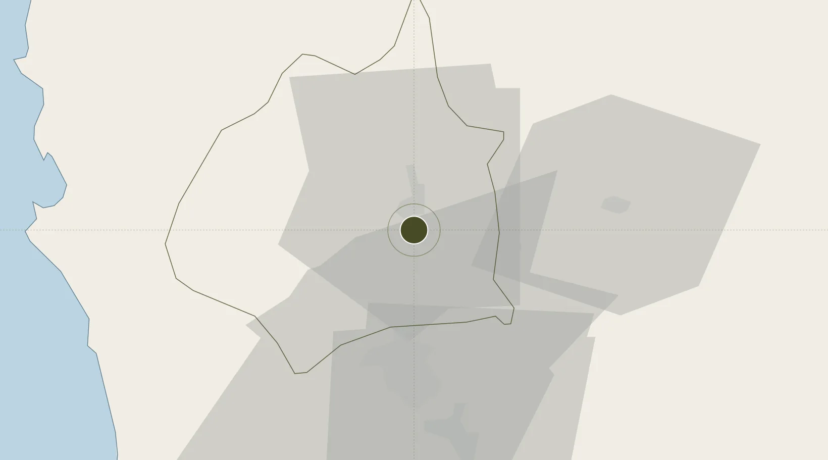
15.4314°, 120.5990°
1 ha
Zone area
70.8 km
Nearest port
27.6 km
Nearest airport

Gateway access

Nearest neighbours — logibook spatial index (haversine) over the source coordinates

Zone profile

Zone type
Specialized Zone
Open Zone Map
Specialization
IT
Open Zone Map
Region
Tarlac
Open Zone Map
Status
Active
Open Zone Map
Management
Private
Open Zone Map
Operator
Robinson's Land Corporation
Open Zone Map
Legal framework
Special Economic Zone Act (Republic Act No. 7916) (as amended by Republic Act No. 8748)
Open Zone Map

Location

Location of ozm-3686
Natural Earth 10m (public domain) · Tarlac · ozm-3686 · 15.43, 120.60GoogleOSMYandex

Nearby Logistics Neighbours

Ports
  1. 1Masinloc71 km
  2. 2Subic Bay79 km
  3. 3Manila102 km
  4. 4Mariveles112 km
  5. 5San Fernando Harbor135 km
Nearest neighbours — logibook spatial index (haversine) over the source coordinates
Airports
  1. 1Clark International Airport / Clark Air Base28 km
  2. 2Subic Bay International Airport / Naval Air Station Cubi Point79 km
  3. 3Dr. Juan C. Angara Airport102 km
  4. 4Loakan Airport105 km
  5. 5Danilo Atienza Air Base109 km
Nearest neighbours — logibook spatial index (haversine) over the source coordinates
Cities
  1. 1Clark Field (Angeles)28 km
  2. 2Cabanatuan40 km
  3. 3Potrero44 km
  4. 4Plaridel/Ozamis66 km
  5. 5Bulacan72 km
Nearest neighbours — logibook spatial index (haversine) over the source coordinates
Trade Zones
  1. 1Luisita Industrial Park2 km
  2. 2Tarlac Provincial IT Park II7 km
  3. 3New Clark City - Phase I9 km
  4. 4TECO Industrial Park22 km
  5. 5DMIA Special Economic Zone I26 km
Nearest neighbours — logibook spatial index (haversine) over the source coordinates
DatabookThe Record of Consolidated Knowledge
Philippines beyond logistics?
Browse databook

All Sources

Trade ZonesOpen Zone Map
CC BY
Portsthe NGA World Port Index
Public domain (US gov)
AirportsOurAirports
Public domain
LocationsUN/LOCODE
UN/LOCODE — free
← Philippines trade zones