Charter City · Philippines

New Clark City - Phase I Under Development
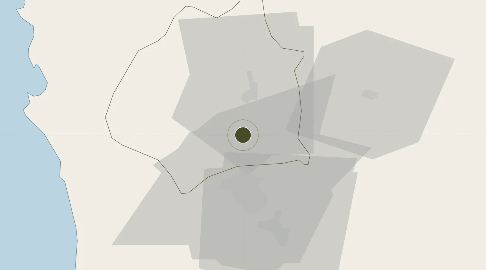
15.3512°, 120.5730°
288 ha
Zone area
69.6 km
Nearest port
18.4 km
Nearest airport

Gateway access

Nearest neighbours — logibook spatial index (haversine) over the source coordinates

Zone profile

Zone type
Charter City
Open Zone Map
Region
Tarlac
Open Zone Map
Status
Under Development
Open Zone Map
Management
Public-Private Partnership
Open Zone Map
Operator
Filinvest-BCDA Clark, Inc.
Open Zone Map
Legal framework
Special Economic Zone Act (Republic Act No. 7916) (as amended by Republic Act No. 8748)
Open Zone Map

Location

Location of ozm-3093
Natural Earth 10m (public domain) · Tarlac · ozm-3093 · 15.35, 120.57GoogleOSMYandex

Nearby Logistics Neighbours

Ports
  1. 1Subic Bay70 km
  2. 2Masinloc70 km
  3. 3Manila95 km
  4. 4Mariveles103 km
  5. 5Nasugbu141 km
Nearest neighbours — logibook spatial index (haversine) over the source coordinates
Airports
  1. 1Clark International Airport / Clark Air Base18 km
  2. 2Subic Bay International Airport / Naval Air Station Cubi Point70 km
  3. 3Danilo Atienza Air Base102 km
  4. 4Ninoy Aquino International Airport105 km
  5. 5Dr. Juan C. Angara Airport108 km
Nearest neighbours — logibook spatial index (haversine) over the source coordinates
Cities
  1. 1Clark Field (Angeles)19 km
  2. 2Potrero36 km
  3. 3Cabanatuan45 km
  4. 4Plaridel/Ozamis61 km
  5. 5Bulacan65 km
Nearest neighbours — logibook spatial index (haversine) over the source coordinates
Trade Zones
  1. 1Robinsons Luisita9 km
  2. 2Luisita Industrial Park11 km
  3. 3TECO Industrial Park14 km
  4. 4Tarlac Provincial IT Park II15 km
  5. 5DMIA Special Economic Zone I17 km
Nearest neighbours — logibook spatial index (haversine) over the source coordinates
DatabookThe Record of Consolidated Knowledge
Philippines beyond logistics?
Browse databook

All Sources

Trade ZonesOpen Zone Map
CC BY
Portsthe NGA World Port Index
Public domain (US gov)
AirportsOurAirports
Public domain
LocationsUN/LOCODE
UN/LOCODE — free
← Philippines trade zones