Transport Functions
Port
Airport
Hub Profile
Place type
Provincial seat
Region
Cagayan Valley
Population
9,647
Time zone
Asia/Manila
Elevation
23 m
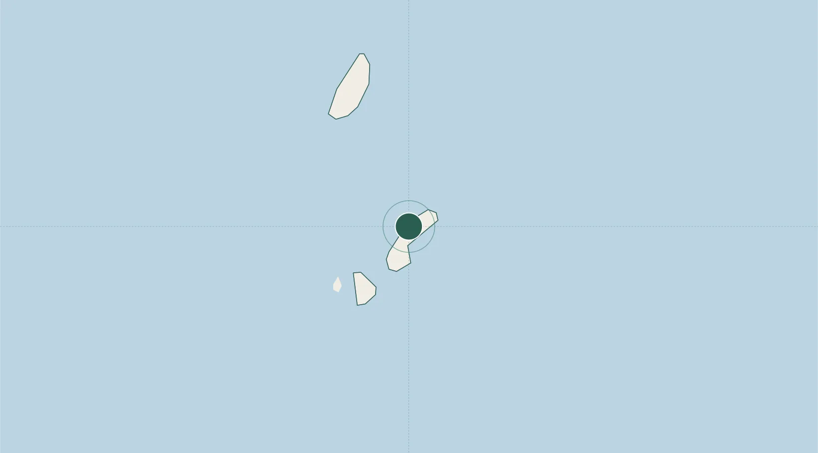
Location
Nearby Logistics Neighbours
Cities
- 1Abulug231 km
- 2Port Irene232 km
- 3Amunitan/Aparri237 km
- 4Pasaleng, Luzon238 km
- 5Kaohsiung290 km
Ports
- 1Claveria224 km
- 2Aparri234 km
- 3Kao-Hsiung299 km
- 4Hua-Lien Kang395 km
- 5Mailiao414 km
Airports
- 1Basco Airport1 km
- 2Itbayat Jorge Abad Airport34 km
- 3Lanyu Airport181 km
- 4Hengchun Airport219 km
- 5Cagayan North International Airport253 km
Trade Zones
DatabookThe Record of Consolidated Knowledge
Philippines beyond logistics?