Medium airport · Philippines
Basco AirportRPUO
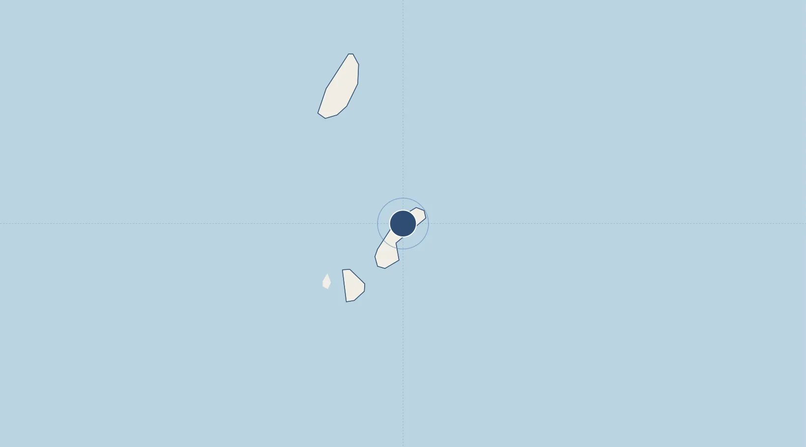
20.4513°, 121.9800°
4,101 ft
Longest runway
1
Runways
291 ft
Elevation
Runway & Layout

Radio Frequencies
TWR
123.5 MHz
FSS
122 MHz
RDO
Navaids
BS NDB Basco 276 kHz
Runways · 1
| Runway | Dimensions | Surface | True heading | Lit |
|---|---|---|---|---|
| 06/24 | 4,101 × 98ft | Asphalt | 055° | — |
Airport Specifications
IATA code
BSO
ICAO code
RPUO
Airport class
Medium airport
Scheduled service
Yes
Runway surface
Asphalt
Served city
Basco
Location
Nearby Logistics Neighbours
Airports
- 1Itbayat Jorge Abad Airport35 km
- 2Lanyu Airport181 km
- 3Hengchun Airport219 km
- 4Cagayan North International Airport254 km
- 5Taitung Airport272 km
Cities
- 1Basco1 km
- 2Abulug231 km
- 3Port Irene232 km
- 4Amunitan/Aparri238 km
- 5Pasaleng, Luzon239 km
Ports
- 1Basco1 km
- 2Claveria225 km
- 3Aparri235 km
- 4Kao-Hsiung300 km
- 5Hua-Lien Kang395 km
Trade Zones
DatabookThe Record of Consolidated Knowledge
Philippines beyond logistics?