Specialized Zone · Philippines

Ilocano Heroes Hall Techno Center Active
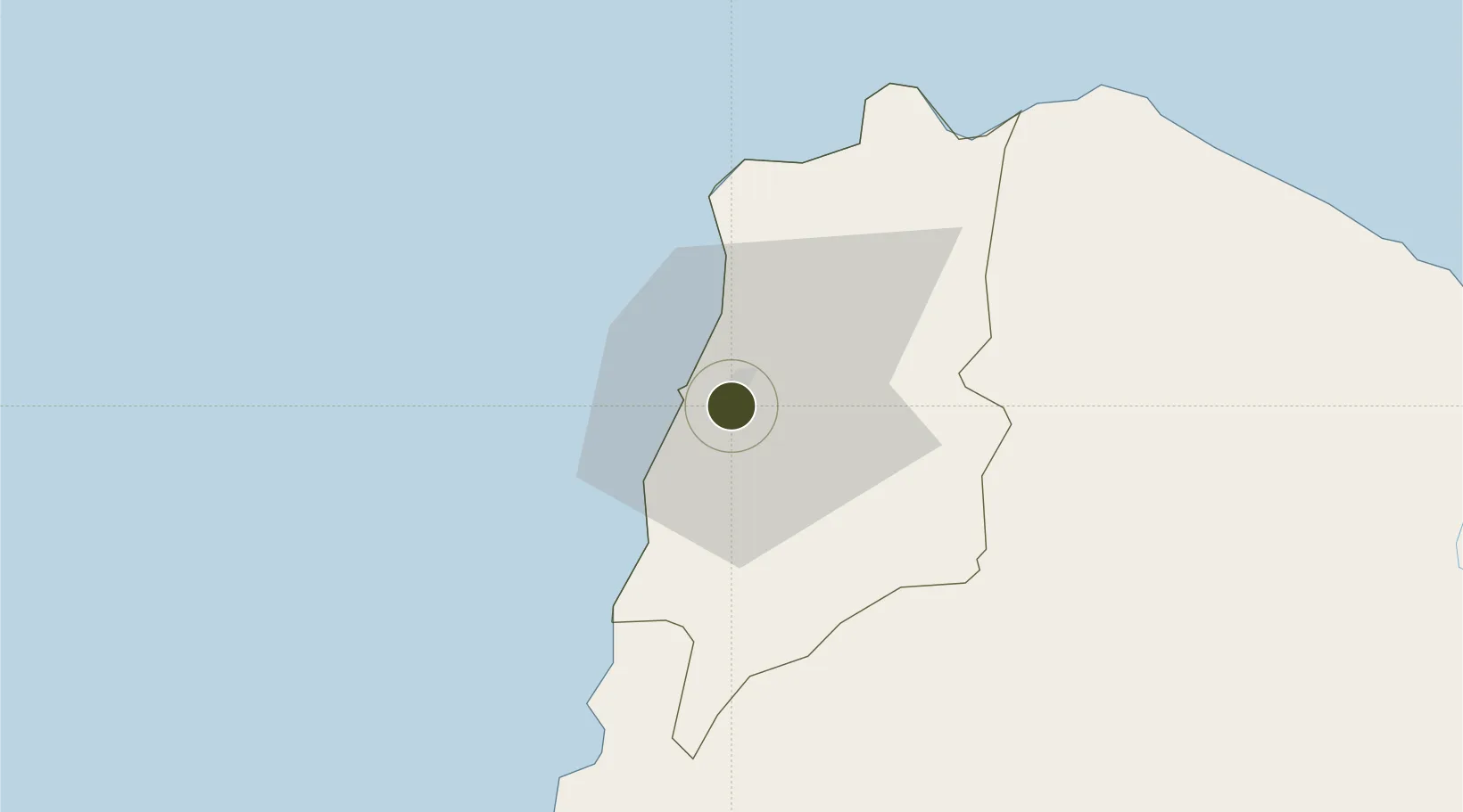
18.1955°, 120.5925°
0 ha
Zone area
69.8 km
Nearest port
6.9 km
Nearest airport

Gateway access

Nearest neighbours — logibook spatial index (haversine) over the source coordinates

Zone profile

Zone type
Specialized Zone
Open Zone Map
Specialization
IT
Open Zone Map
Region
Ilocos Norte
Open Zone Map
Status
Active
Open Zone Map
Management
Public
Open Zone Map
Operator
Provincial Government of Ilocos Norte
Open Zone Map
Legal framework
Special Economic Zone Act (Republic Act No. 7916) (as amended by Republic Act No. 8748)
Open Zone Map

Location

Location of ozm-3504
Natural Earth 10m (public domain) · Ilocos Norte · ozm-3504 · 18.20, 120.59GoogleOSMYandex

Nearby Logistics Neighbours

Ports
  1. 1Claveria70 km
  2. 2Aparri112 km
  3. 3San Fernando Harbor178 km
  4. 4Basco289 km
  5. 5Masinloc302 km
Nearest neighbours — logibook spatial index (haversine) over the source coordinates
Airports
  1. 1Laoag International Airport7 km
  2. 2Cagayan North International Airport122 km
  3. 3Tuguegarao Airport135 km
  4. 4San Fernando Airport181 km
  5. 5Cauayan Airport187 km
Nearest neighbours — logibook spatial index (haversine) over the source coordinates
Cities
  1. 1Laoag, Luzon2 km
  2. 2Salomague50 km
  3. 3Pasaleng, Luzon52 km
  4. 4Abulug94 km
  5. 5Amunitan/Aparri155 km
Nearest neighbours — logibook spatial index (haversine) over the source coordinates
Trade Zones
  1. 1The VYV2 km
  2. 2Venvi IT Hub2 km
  3. 3Fort Ilocandia Tourism Ecozone9 km
  4. 4Mariano Marcos State University IT Center16 km
  5. 5Robinsons Place Ilocos Norte Expansion53 km
Nearest neighbours — logibook spatial index (haversine) over the source coordinates
DatabookThe Record of Consolidated Knowledge
Philippines beyond logistics?
Browse databook

All Sources

Trade ZonesOpen Zone Map
CC BY
Portsthe NGA World Port Index
Public domain (US gov)
AirportsOurAirports
Public domain
LocationsUN/LOCODE
UN/LOCODE — free
← Philippines trade zones