Medium airport · Philippines

Itbayat Jorge Abad AirportRPLT
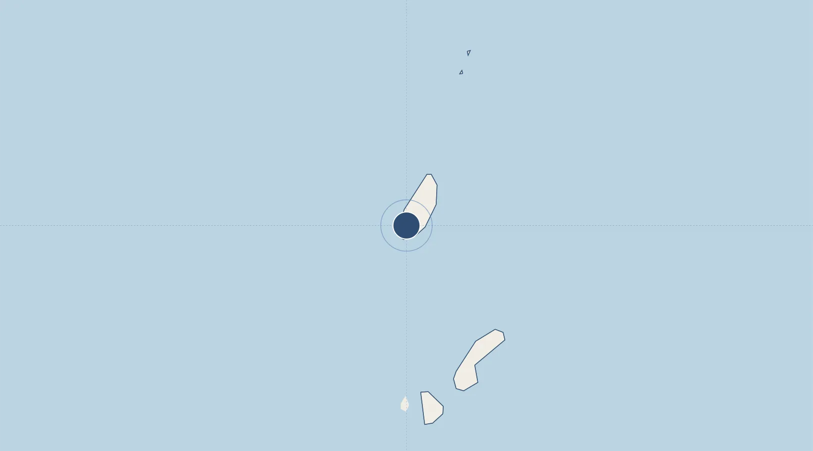
20.7225°, 121.8100°
2,628 ft
Longest runway
1
Runways
328 ft
Elevation

Runway & Layout

Itbayat Jorge Abad Airport runway & taxiway layout
Runway & taxiway layout — OpenStreetMap (ODbL) / OurAirports

Runways · 1

RunwayDimensions SurfaceTrue headingLit
18/36 2,628 × —ft Concrete
OurAirports

Airport Specifications

ICAO code
RPLT
OurAirports
Airport class
Medium airport
OurAirports
Scheduled service
Yes
OurAirports
Runway surface
Concrete
OurAirports
Served city
Itbayat
OurAirports

Location

Location of RPLT
Natural Earth 10m (public domain) · Batanes · RPLT · 20.72, 121.81GoogleOSMYandex

Nearby Logistics Neighbours

Airports
  1. 1Basco Airport35 km
  2. 2Lanyu Airport148 km
  3. 3Hengchun Airport184 km
  4. 4Taitung Airport238 km
  5. 5Chihhang Air Base239 km
Nearest neighbours — logibook spatial index (haversine) over the source coordinates
Cities
  1. 1Basco34 km
  2. 2Kaohsiung256 km
  3. 3Abulug257 km
  4. 4Pasaleng, Luzon259 km
  5. 5Port Irene264 km
Nearest neighbours — logibook spatial index (haversine) over the source coordinates
Ports
  1. 1Basco34 km
  2. 2Claveria246 km
  3. 3Aparri263 km
  4. 4Kao-Hsiung265 km
  5. 5Hua-Lien Kang363 km
Nearest neighbours — logibook spatial index (haversine) over the source coordinates
Trade Zones
  1. 1Linkuang Export Processing Zone254 km
  2. 2Pingtung Export Processing Zone255 km
  3. 3Cagayan Special Economic Zone259 km
  4. 4Kaohsiung Software-Based Technology Park261 km
  5. 5Kaohsiung Export Processing Zone261 km
Nearest neighbours — logibook spatial index (haversine) over the source coordinates
DatabookThe Record of Consolidated Knowledge
Philippines beyond logistics?
Browse databook

All Sources

AirportsOurAirports
Public domain
Portsthe NGA World Port Index
Public domain (US gov)
LocationsUN/LOCODE
UN/LOCODE — free
Trade Zonesthe World Bank SEZ database
CC BY 4.0
Trade ZonesOpen Zone Map
CC BY
InfrastructureOpenStreetMap
ODbL 1.0
← Philippines airports