Diversified Zone · Philippines

Cagayan Special Economic Zone Active
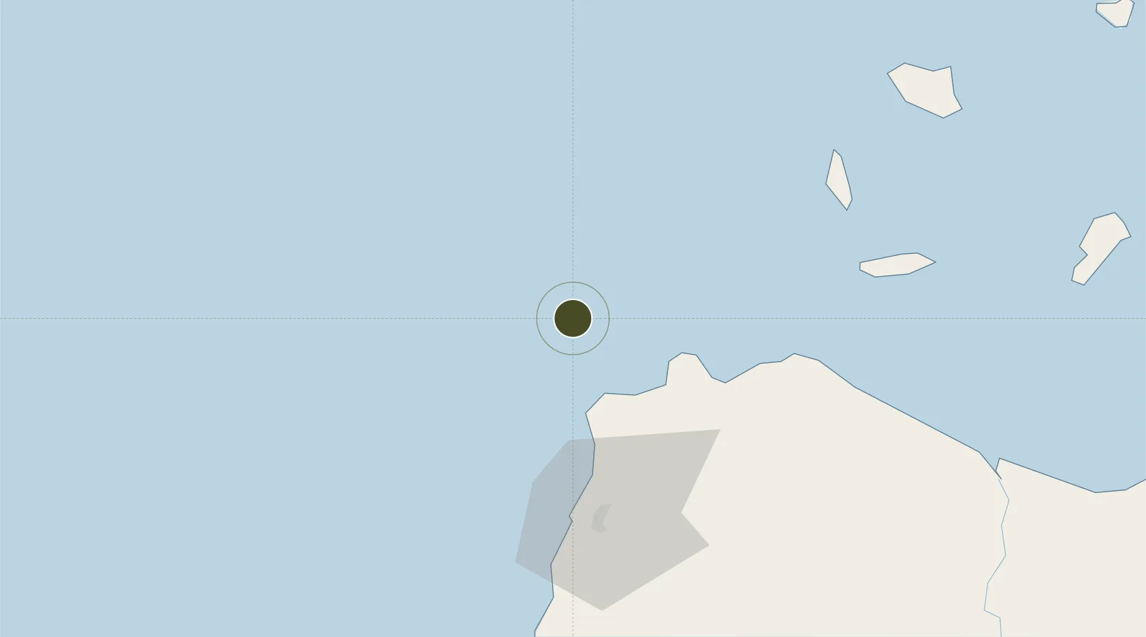
18.7347°, 120.5278°
54,118 ha
Zone area
60.0 km
Nearest port
62.2 km
Nearest airport

Gateway access

Nearest neighbours — logibook spatial index (haversine) over the source coordinates

Zone profile

Zone type
Diversified Zone
Open Zone Map
Status
Active
Open Zone Map
Management
Public
Open Zone Map
Operator
Cagayan Economic Zone Authority
Open Zone Map
Legal framework
Special Economic Zone Act (Republic Act No. 7916) (as amended by Republic Act No. 8748)
Open Zone Map

Location

Location of ozm-3234
Natural Earth 10m (public domain) · ozm-3234 · 18.73, 120.53GoogleOSMYandex

Nearby Logistics Neighbours

Ports
  1. 1Claveria60 km
  2. 2Aparri124 km
  3. 3San Fernando Harbor237 km
  4. 4Basco243 km
  5. 5Masinloc359 km
Nearest neighbours — logibook spatial index (haversine) over the source coordinates
Airports
  1. 1Laoag International Airport62 km
  2. 2Cagayan North International Airport142 km
  3. 3Tuguegarao Airport176 km
  4. 4Cauayan Airport239 km
  5. 5San Fernando Airport239 km
Nearest neighbours — logibook spatial index (haversine) over the source coordinates
Cities
  1. 1Pasaleng, Luzon46 km
  2. 2Laoag, Luzon62 km
  3. 3Abulug103 km
  4. 4Salomague106 km
  5. 5Amunitan/Aparri167 km
Nearest neighbours — logibook spatial index (haversine) over the source coordinates
Trade Zones
  1. 1Ilocano Heroes Hall Techno Center60 km
  2. 2The VYV62 km
  3. 3Venvi IT Hub62 km
  4. 4Fort Ilocandia Tourism Ecozone64 km
  5. 5Mariano Marcos State University IT Center75 km
Nearest neighbours — logibook spatial index (haversine) over the source coordinates
DatabookThe Record of Consolidated Knowledge
Philippines beyond logistics?
Browse databook

All Sources

Trade ZonesOpen Zone Map
CC BY
Portsthe NGA World Port Index
Public domain (US gov)
AirportsOurAirports
Public domain
LocationsUN/LOCODE
UN/LOCODE — free
← Philippines trade zones