Transport Functions
Port
Road
Hub Profile
Region
ILN
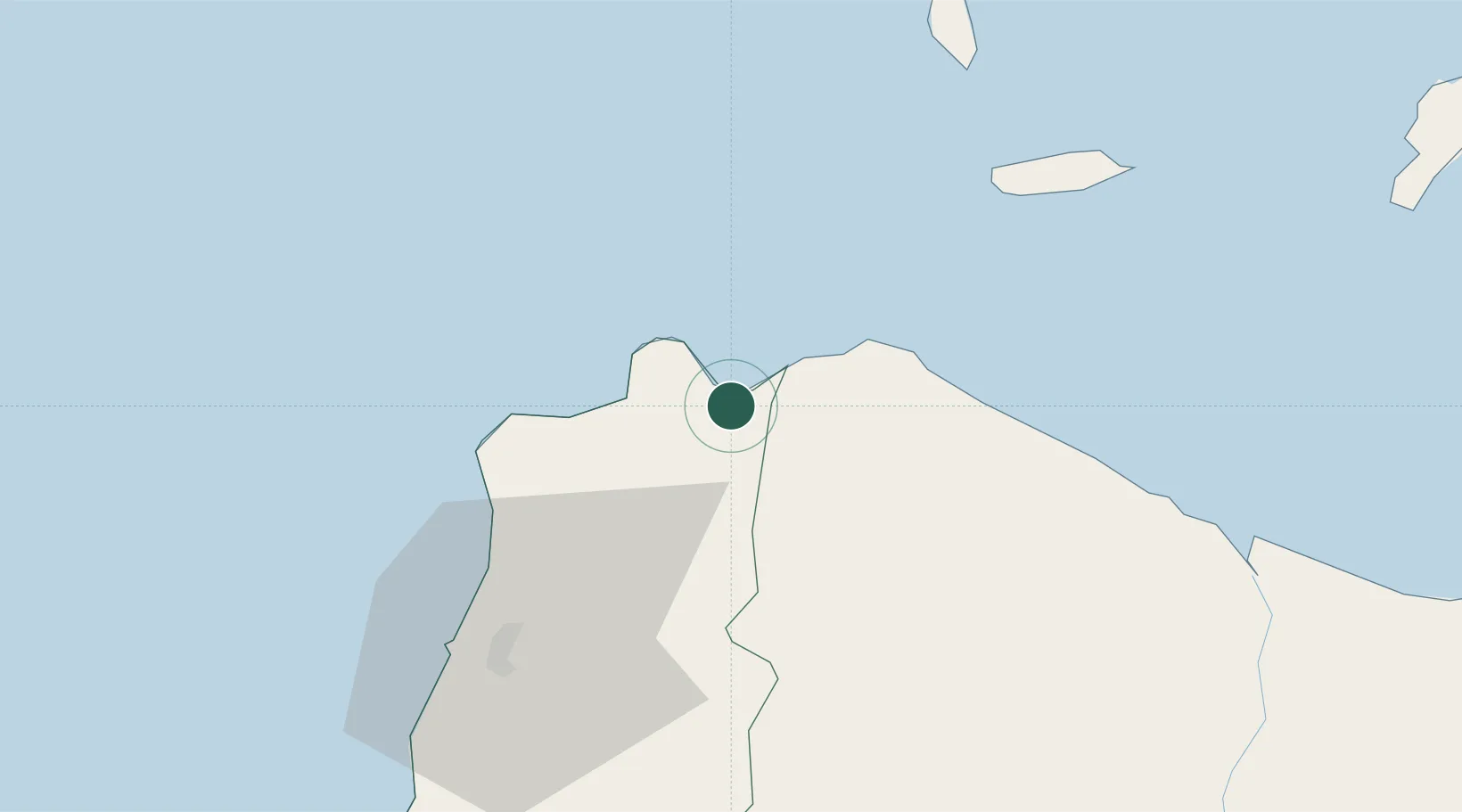
Location
Nearby Logistics Neighbours
Cities
- 1Laoag, Luzon54 km
- 2Abulug58 km
- 3Salomague100 km
- 4Amunitan/Aparri122 km
- 5Port Irene127 km
Ports
- 1Claveria19 km
- 2Aparri78 km
- 3San Fernando Harbor224 km
- 4Basco238 km
- 5Masinloc349 km
Airports
- 1Laoag International Airport58 km
- 2Cagayan North International Airport97 km
- 3Tuguegarao Airport133 km
- 4Cauayan Airport201 km
- 5San Fernando Airport227 km
Trade Zones
- 1Cagayan Special Economic Zone46 km
- 2Ilocano Heroes Hall Techno Center52 km
- 3The VYV54 km
- 4Venvi IT Hub54 km
- 5Fort Ilocandia Tourism Ecozone61 km
DatabookThe Record of Consolidated Knowledge
Philippines beyond logistics?