Export Processing Zone · Taiwan

Pingtung Export Processing Zone Active
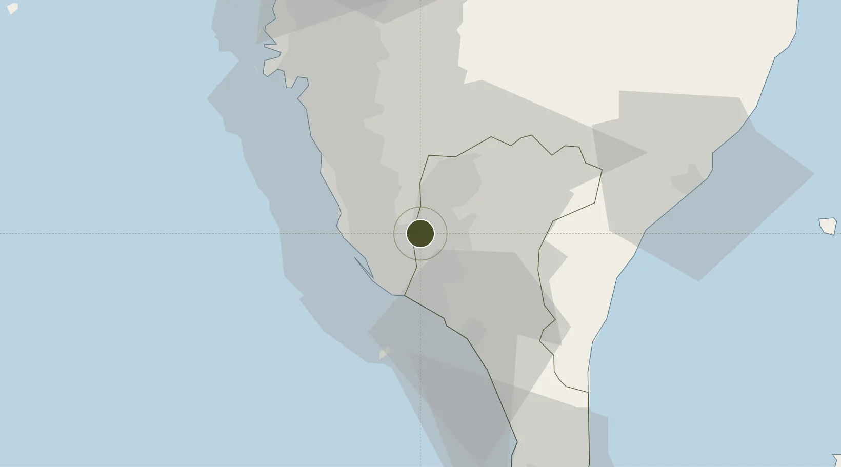
22.6394°, 120.4523°
123 ha
Zone area
20.9 km
Nearest port
3.8 km
Nearest airport

Gateway access

Nearest neighbours — logibook spatial index (haversine) over the source coordinates

Zone profile

Zone type
Export Processing Zone
Open Zone Map
Region
Pingtung
Open Zone Map
Status
Active
Open Zone Map
Management
Public
Open Zone Map
Operator
Taiwan Export Processing Zone Administration
Open Zone Map
Legal framework
Statue for the Establishment and Administration of Export Processing Zone- Promulgated on January 30, 1965
Open Zone Map

Location

Location of ozm-4383
Natural Earth 10m (public domain) · Pingtung · ozm-4383 · 22.64, 120.45GoogleOSMYandex

Nearby Logistics Neighbours

Ports
  1. 1Kao-Hsiung21 km
  2. 2Mailiao131 km
  3. 3Peng-Hu Kang141 km
  4. 4Tai-Chung Kang185 km
  5. 5Hua-Lien Kang190 km
Nearest neighbours — logibook spatial index (haversine) over the source coordinates
Airports
  1. 1Pingtung Air Force Base4 km
  2. 2Pingtung Air Force Base North7 km
  3. 3Kaohsiung International Airport13 km
  4. 4Zuoying Naval Airfield19 km
  5. 5Gangshan Air Force Base25 km
Nearest neighbours — logibook spatial index (haversine) over the source coordinates
Cities
  1. 1Kaohsiung15 km
  2. 2Yung-K'Ang47 km
  3. 3Mai-liao61 km
  4. 4Budai89 km
  5. 5Mai-Liai125 km
Nearest neighbours — logibook spatial index (haversine) over the source coordinates
Trade Zones
  1. 1Linkuang Export Processing Zone14 km
  2. 2Nantze 2nd Export Processing Zone16 km
  3. 3Kaohsiung Software-Based Technology Park16 km
  4. 4Kaohsiung Export Processing Zone17 km
  5. 5Port Of Kaohsiung Free Trade Zone19 km
Nearest neighbours — logibook spatial index (haversine) over the source coordinates
DatabookThe Record of Consolidated Knowledge
Taiwan beyond logistics?
Browse databook

All Sources

Trade ZonesOpen Zone Map
CC BY
Portsthe NGA World Port Index
Public domain (US gov)
AirportsOurAirports
Public domain
LocationsUN/LOCODE
UN/LOCODE — free
← Taiwan trade zones