Medium airport · Taiwan
Lanyu AirportRCLY
22.0270°, 121.5350°
3,852 ft
Longest runway
1
Runways
44 ft
Elevation
Runway & Layout

Radio Frequencies
TWR
118.5 MHz
Navaids
LY NDB Lanyu 350 kHz
Runways · 1
| Runway | Dimensions | Surface | True heading | Lit |
|---|---|---|---|---|
| 13/31 | 3,852 × 79ft | Concrete | 130° | — |
Airport Specifications
IATA code
KYD
ICAO code
RCLY
Airport class
Medium airport
Scheduled service
Yes
Runway surface
Concrete
Served city
Orchid Island
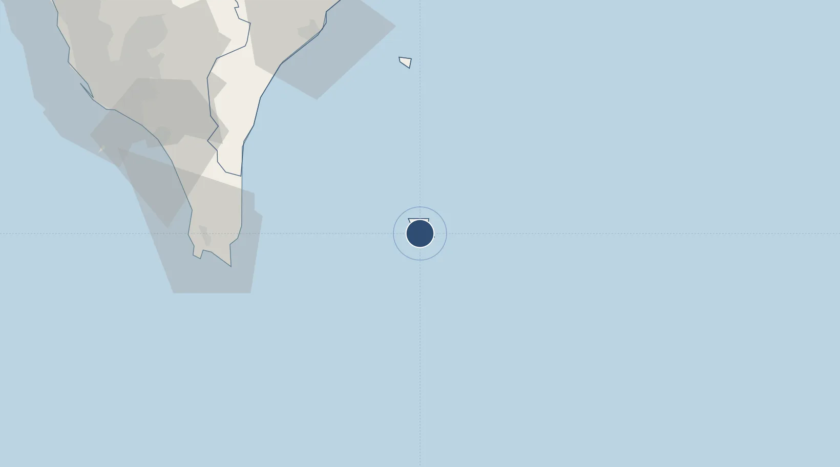
Location
Nearby Logistics Neighbours
Airports
- 1Hengchun Airport83 km
- 2Taitung Airport92 km
- 3Chihhang Air Base93 km
- 4Pingtung Air Force Base132 km
- 5Pingtung Air Force Base North132 km
Cities
- 1Kaohsiung138 km
- 2Yung-K'Ang172 km
- 3Basco181 km
- 4Mai-liao187 km
- 5Budai209 km
Ports
- 1Kao-Hsiung148 km
- 2Basco181 km
- 3Hua-Lien Kang218 km
- 4Mailiao240 km
- 5Peng-Hu Kang268 km
Trade Zones
DatabookThe Record of Consolidated Knowledge
Taiwan beyond logistics?